Dookoła Kampinoskiego Parku Narodowego w 10h
- 152.7 km
- 700 m
- 708 m
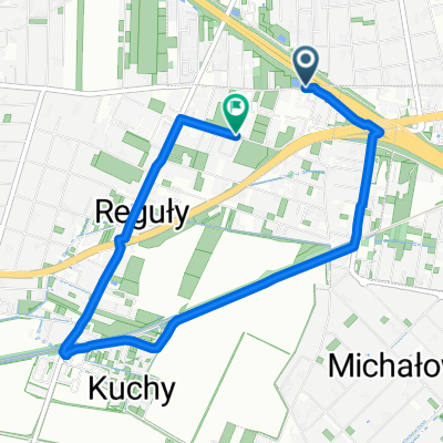
- Michałowice, Masovian Voivodeship, Poland
A cycling route starting in Michałowice, Masovian Voivodeship, Poland.
Overview
2019-08-11
created this 6 years ago
Route quality
Quiet road
5.2 km
(32 %)
Road
4.8 km
(30 %)
Paved
8.4 km
(52 %)
Unpaved
0.2 km
(1 %)
Asphalt
8.4 km
(52 %)
Unpaved (undefined)
0.2 km
(1 %)
Undefined
7.6 km
(47 %)
Continue with Bikemap
You would like to ride 2019-08-11 or customize it for your own trip? Here is what you can do with this Bikemap route:
Free trial for 3 days, or one-time payment. More about Bikemap Premium.
Discover more Premium features.
Get Bikemap PremiumFrom our community
Open it in the app