Ginevra - Champagnole
- 97.3 km
- 1,507 m
- 1,434 m
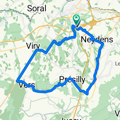
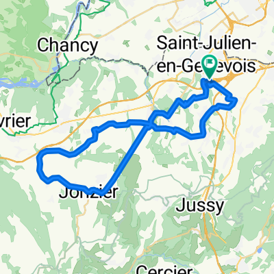
- Saint-Julien-en-Genevois, Auvergne-Rhône-Alpes, France
A cycling route starting in Saint-Julien-en-Genevois, Auvergne-Rhône-Alpes, France.
Overview
Veni Vidi...by Bici 2019 Sixteenth stage of the Ostia - Paris bike trip by Angelo and Giuseppe
created this 6 years ago
Route quality
Road
25.3 km
(26 %)
Quiet road
14.6 km
(15 %)
Paved
74.9 km
(77 %)
Unpaved
1 km
(1 %)
Asphalt
73 km
(75 %)
Paved (undefined)
1 km
(1 %)
Continue with Bikemap
You would like to ride Ginevra - Champagnole or customize it for your own trip? Here is what you can do with this Bikemap route:
Free trial for 3 days, or one-time payment. More about Bikemap Premium.
Discover more Premium features.
Get Bikemap PremiumFrom our community
Open it in the app