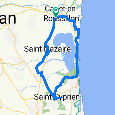
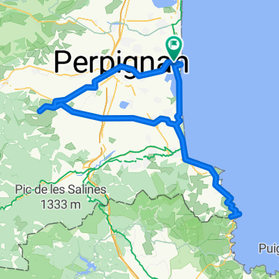
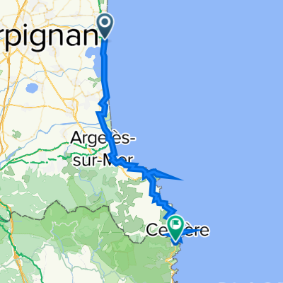
Facile à conduire Torreilles
A cycling route starting in Canet-en-Roussillon, Occitanie, France.
Overview
About this route
- 44 min
- Duration
- 9.9 km
- Distance
- 12 m
- Ascent
- 12 m
- Descent
- 13.5 km/h
- Avg. speed
- ---
- Max. altitude
Continue with Bikemap
Use, edit, or download this cycling route
You would like to ride Facile à conduire Torreilles or customize it for your own trip? Here is what you can do with this Bikemap route:
Free features
- Save this route as favorite or in collections
- Copy & plan your own version of this route
- Sync your route with Garmin or Wahoo
Premium features
Free trial for 3 days, or one-time payment. More about Bikemap Premium.
- Navigate this route on iOS & Android
- Export a GPX / KML file of this route
- Create your custom printout (try it for free)
- Download this route for offline navigation
Discover more Premium features.
Get Bikemap PremiumFrom our community
Other popular routes starting in Canet-en-Roussillon
- B-B 9
- Distance
- 33 km
- Ascent
- 201 m
- Descent
- 199 m
- Location
- Canet-en-Roussillon, Occitanie, France
- le grand huit
- Distance
- 1,274 km
- Ascent
- 6,632 m
- Descent
- 6,633 m
- Location
- Canet-en-Roussillon, Occitanie, France
- Canet -> saleilles
- Distance
- 25.5 km
- Ascent
- 22 m
- Descent
- 21 m
- Location
- Canet-en-Roussillon, Occitanie, France
- Wild Med Way Draft
- Distance
- 634.8 km
- Ascent
- 3,543 m
- Descent
- 3,540 m
- Location
- Canet-en-Roussillon, Occitanie, France
- CANET - PORT LA NOUVELLE
- Distance
- 47.3 km
- Ascent
- 88 m
- Descent
- 91 m
- Location
- Canet-en-Roussillon, Occitanie, France
- Canet / La Franqui
- Distance
- 79.6 km
- Ascent
- 76 m
- Descent
- 74 m
- Location
- Canet-en-Roussillon, Occitanie, France
- Canet-en-Roussillon-Perpignan
- Distance
- 13.8 km
- Ascent
- 37 m
- Descent
- 17 m
- Location
- Canet-en-Roussillon, Occitanie, France
- Brasilia
- Distance
- 34.7 km
- Ascent
- 55 m
- Descent
- 54 m
- Location
- Canet-en-Roussillon, Occitanie, France
Open it in the app