

Borgschdorfer Bergfex
A cycling route starting in Burkhardtsdorf, Saxony, Germany.
Overview
About this route
The route starts off somewhat gently flat for warming up to Zwönitz; especially enjoyed by riders with aero handlebars ;-). After Zwönitz, towards Burgstädtel, leave the bike path (if you like ....) at the latest when the turn towards Geyer comes into view on the left. Then follows a long ascent. However, it only ends when you are already a good piece back in the forest grins ..... The descent to Geyer should be ridden with constant brake readiness. There are two climbs up to Jahnsbach; the one behind the dam is not bad. Behind Jahnsbach, it cracks again - but the worst is finally behind. It’s quickly downhill to Meinersdorf, and by then it’s time to shift the chain to the right and go full throttle .... Towards Adorf follows 1 km with allegedly 12 % - then I have reached my goal. Have fun, wishes the Beast
- -:--
- Duration
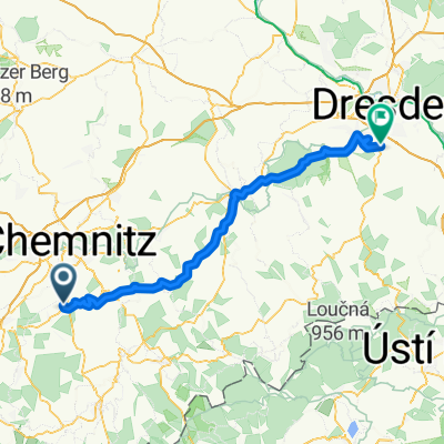
- 43.3 km
- Distance
- 526 m
- Ascent
- 522 m
- Descent
- ---
- Avg. speed
- ---
- Max. altitude

Route quality
Waytypes & surfaces along the route
Waytypes
Road
5.6 km
(13 %)
Quiet road
4.8 km
(11 %)
Surfaces
Paved
37.7 km
(87 %)
Unpaved
0.9 km
(2 %)
Asphalt
37.7 km
(87 %)
Gravel
0.4 km
(1 %)
Route highlights
Points of interest along the route
Point of interest after 0 km
Burkhardtsdorf Freibad
Continue with Bikemap
Use, edit, or download this cycling route
You would like to ride Borgschdorfer Bergfex or customize it for your own trip? Here is what you can do with this Bikemap route:
Free features
- Save this route as favorite or in collections
- Copy & plan your own version of this route
- Sync your route with Garmin or Wahoo
Premium features
Free trial for 3 days, or one-time payment. More about Bikemap Premium.
- Navigate this route on iOS & Android
- Export a GPX / KML file of this route
- Create your custom printout (try it for free)
- Download this route for offline navigation
Discover more Premium features.
Get Bikemap PremiumFrom our community
Other popular routes starting in Burkhardtsdorf
 Klaffenbach - Talsperre Stooberg
- Distance
- 10.9 km
- Ascent
- 234 m
- Descent
- 156 m
- Location
- Burkhardtsdorf, Saxony, Germany
 Burkhardtsdorf-Scheibenberg-Burkhardtsdorf
- Distance
- 56 km
- Ascent
- 870 m
- Descent
- 870 m
- Location
- Burkhardtsdorf, Saxony, Germany
 hieckis
- Distance
- 86.5 km
- Ascent
- 884 m
- Descent
- 1,045 m
- Location
- Burkhardtsdorf, Saxony, Germany
 Burkhardtsdorf - Fichtelberg - Plattenberg
- Distance
- 117.2 km
- Ascent
- 1,520 m
- Descent
- 1,419 m
- Location
- Burkhardtsdorf, Saxony, Germany
 Amselring 14, Burkhardtsdorf nach Thumer Straße 71, Geyer
- Distance
- 17 km
- Ascent
- 459 m
- Descent
- 242 m
- Location
- Burkhardtsdorf, Saxony, Germany
 Burkhardtsdorf - Elterlein -Schlettau - Geyer
- Distance
- 57.1 km
- Ascent
- 551 m
- Descent
- 551 m
- Location
- Burkhardtsdorf, Saxony, Germany
 Einsiedel via Zwönitz zurück
- Distance
- 53.9 km
- Ascent
- 462 m
- Descent
- 589 m
- Location
- Burkhardtsdorf, Saxony, Germany
 Borgschdorfer Bergfex
- Distance
- 43.3 km
- Ascent
- 526 m
- Descent
- 522 m
- Location
- Burkhardtsdorf, Saxony, Germany
Open it in the app