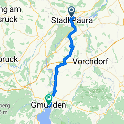
Gmunden
- 28.1 km
- 304 m
- 253 m
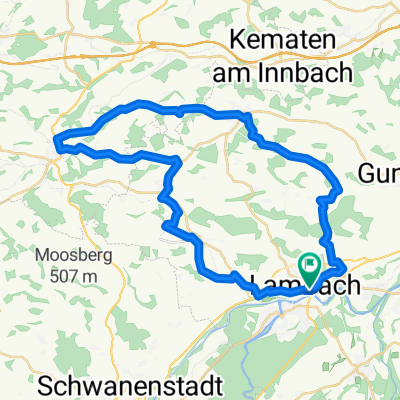
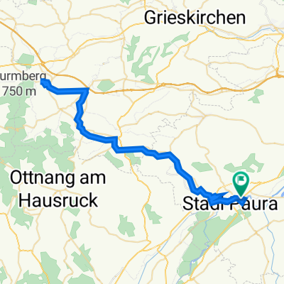
- Lambach, Upper Austria, Austria
A cycling route starting in Lambach, Upper Austria, Austria.
Overview
created this 6 years ago
Route quality
Quiet road
13.7 km
(52 %)
Path
6.9 km
(26 %)
Paved
10.6 km
(40 %)
Asphalt
10.3 km
(39 %)
Paved (undefined)
0.3 km
(1 %)
Undefined
15.9 km
(60 %)
Continue with Bikemap
You would like to ride kemal 1 or customize it for your own trip? Here is what you can do with this Bikemap route:
Free trial for 3 days, or one-time payment. More about Bikemap Premium.
Discover more Premium features.
Get Bikemap PremiumFrom our community
Open it in the app