
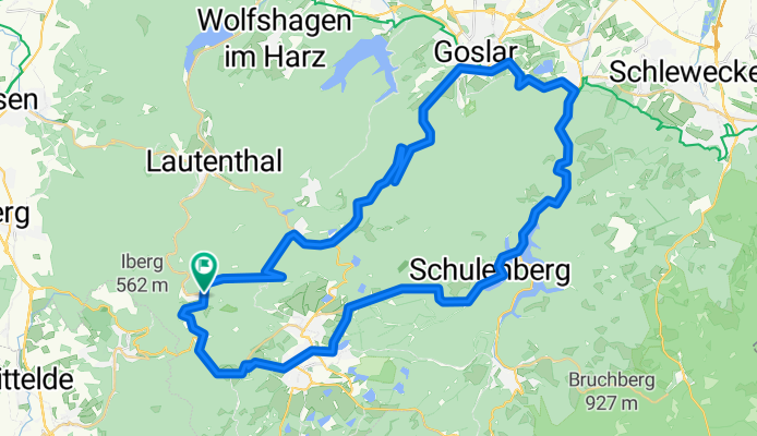
52km 740hm
A cycling route starting in Wildemann, Lower Saxony, Germany.
Overview
About this route
52km 740hm
- -:--
- Duration
- 52 km
- Distance
- 750 m
- Ascent
- 750 m
- Descent
- ---
- Avg. speed
- ---
- Max. altitude

Route quality
Waytypes & surfaces along the route
Waytypes
Quiet road
10.4 km
(20 %)
Track
3.1 km
(6 %)
Surfaces
Paved
46.8 km
(90 %)
Unpaved
3.6 km
(7 %)
Asphalt
46.8 km
(90 %)
Gravel
3.6 km
(7 %)
Undefined
1.6 km
(3 %)
Continue with Bikemap
Use, edit, or download this cycling route
You would like to ride 52km 740hm or customize it for your own trip? Here is what you can do with this Bikemap route:
Free features
- Save this route as favorite or in collections
- Copy & plan your own version of this route
- Sync your route with Garmin or Wahoo
Premium features
Free trial for 3 days, or one-time payment. More about Bikemap Premium.
- Navigate this route on iOS & Android
- Export a GPX / KML file of this route
- Create your custom printout (try it for free)
- Download this route for offline navigation
Discover more Premium features.
Get Bikemap PremiumFrom our community
Other popular routes starting in Wildemann
 Hahnenklee - Innerste-Stausee - Runde (Harz 2008)
- Distance
- 48.5 km
- Ascent
- 1,020 m
- Descent
- 1,017 m
- Location
- Wildemann, Lower Saxony, Germany
 Harzrunde09_01
- Distance
- 46.7 km
- Ascent
- 745 m
- Descent
- 738 m
- Location
- Wildemann, Lower Saxony, Germany
 Wildemann-Dammhaus-Lohnau-Sösetalsperre-Prinzenteich-Wildemann
- Distance
- 70.1 km
- Ascent
- 1,026 m
- Descent
- 1,028 m
- Location
- Wildemann, Lower Saxony, Germany
 Harz TL 44 km Innerste-Stausee-Tour
- Distance
- 44 km
- Ascent
- 525 m
- Descent
- 519 m
- Location
- Wildemann, Lower Saxony, Germany
 Wildemann - Okertal - Eckerstausee - Brocken - Altenau - Claustal-Zellerfeld - Wildemann
- Distance
- 73 km
- Ascent
- 1,203 m
- Descent
- 1,203 m
- Location
- Wildemann, Lower Saxony, Germany
 Oberharzer Teiche- und Bäche-Tour
- Distance
- 82.3 km
- Ascent
- 1,365 m
- Descent
- 1,365 m
- Location
- Wildemann, Lower Saxony, Germany
 Mittelgroße Runde Wildemann-Goslar-Wildemann
- Distance
- 65.4 km
- Ascent
- 955 m
- Descent
- 966 m
- Location
- Wildemann, Lower Saxony, Germany
 Hahnenklee - Runde Granetalsperre
- Distance
- 23.7 km
- Ascent
- 487 m
- Descent
- 486 m
- Location
- Wildemann, Lower Saxony, Germany
Open it in the app