

TBC day 4. Kimberley to Crawford Bay via Gray Creek Pass
A cycling route starting in Kimberley, British Columbia, Canada.
Overview
About this route
Kimberley to Crawford Bay via Gray Creek Pass
- -:--
- Duration
- 86.5 km
- Distance
- 1,456 m
- Ascent
- 1,783 m
- Descent
- ---
- Avg. speed
- ---
- Max. altitude

Route quality
Waytypes & surfaces along the route
Waytypes
Road
77.9 km
(90 %)
Busy road
7.5 km
(9 %)
Surfaces
Paved
1 km
(1 %)
Unpaved
62 km
(72 %)
Gravel
44.3 km
(51 %)
Unpaved (undefined)
17.7 km
(20 %)
Continue with Bikemap
Use, edit, or download this cycling route
You would like to ride TBC day 4. Kimberley to Crawford Bay via Gray Creek Pass or customize it for your own trip? Here is what you can do with this Bikemap route:
Free features
- Save this route as favorite or in collections
- Copy & plan your own version of this route
- Split it into stages to create a multi-day tour
- Sync your route with Garmin or Wahoo
Premium features
Free trial for 3 days, or one-time payment. More about Bikemap Premium.
- Navigate this route on iOS & Android
- Export a GPX / KML file of this route
- Create your custom printout (try it for free)
- Download this route for offline navigation
Discover more Premium features.
Get Bikemap PremiumFrom our community
Other popular routes starting in Kimberley
 July 27 2022 Kimberley to Cranbrook return
- Distance
- 64 km
- Ascent
- 502 m
- Descent
- 499 m
- Location
- Kimberley, British Columbia, Canada
 TCT Sectional/ Kimberley to Cranbrook
- Distance
- 33.4 km
- Ascent
- 116 m
- Descent
- 314 m
- Location
- Kimberley, British Columbia, Canada
 18 55+ Hill Climb Course
- Distance
- 3.2 km
- Ascent
- 163 m
- Descent
- 4 m
- Location
- Kimberley, British Columbia, Canada
 Jackson and my weekly
- Distance
- 10.3 km
- Ascent
- 0 m
- Descent
- 256 m
- Location
- Kimberley, British Columbia, Canada
 Bootleg-Rail trail-wycliffe loop
- Distance
- 49.4 km
- Ascent
- 310 m
- Descent
- 310 m
- Location
- Kimberley, British Columbia, Canada
 1650 Warren Ave, Kimberley to 1650 Warren Ave, Kimberley
- Distance
- 35.6 km
- Ascent
- 304 m
- Descent
- 308 m
- Location
- Kimberley, British Columbia, Canada
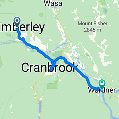 TCT Area/Kimberley to Wardner
- Distance
- 71.6 km
- Ascent
- 197 m
- Descent
- 568 m
- Location
- Kimberley, British Columbia, Canada
 9880–9888 Pighin Rd, East Kootenay to 340 Mark St, Kimberley
- Distance
- 15.9 km
- Ascent
- 303 m
- Descent
- 114 m
- Location
- Kimberley, British Columbia, Canada
Open it in the app