

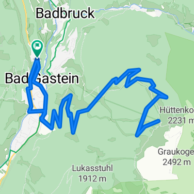
Bad Gastein und Alpenhaus Prossau
A cycling route starting in Bad Gastein, Salzburg, Austria.
Overview
About this route
Heute Morgen wußte ich noch nicht, was mich heute erwartet. Es fing ganz harmlos an mit Radeln entlang der Gasteiner Ache. dann in Badbruck ging es dann zur Sache. Heftige Steigungen mußten überwunden werden um nach Bad Gastein zu gelangen. Puhhh. In Bad Gastein dann die übliche Besichtigungsrunde und dann weiter in das Kötschachtal. Ach hier galt es wieder einige kurze aber kräftige Rampen zu überwinden. Am Alpenhaus Prossau angekommen war ich dann mal richtig platt. Mehr wäre wahrscheinlich nicht gegangen. Hier eine dringend notwendige Stärkung und dann auf fast dem gleichen Weg zurück. Aber diesmal überwiegend abwärts :-) #noebike
- -:--
- Duration
- 24.2 km
- Distance
- 768 m
- Ascent
- 768 m
- Descent
- ---
- Avg. speed
- ---
- Max. altitude

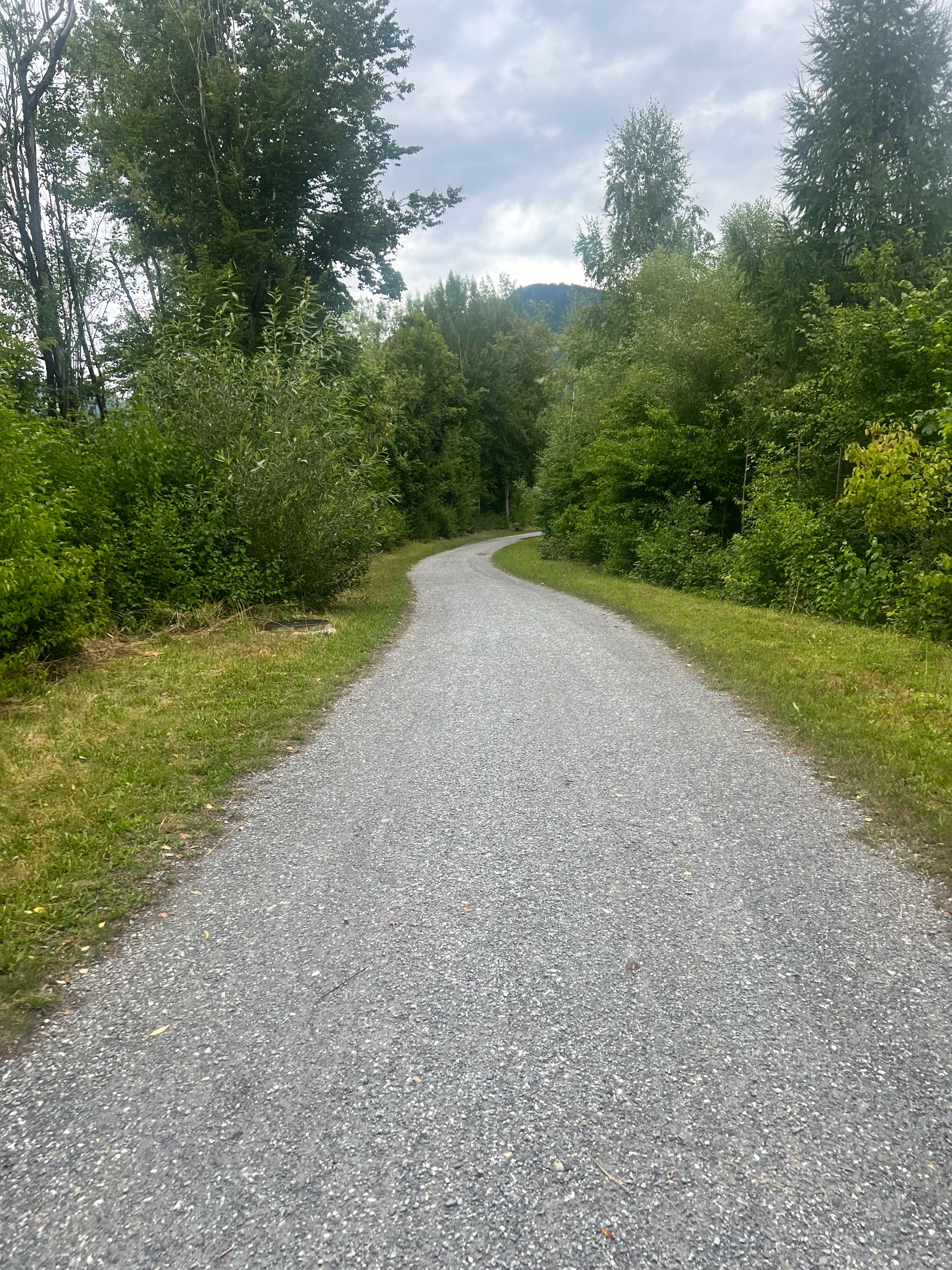
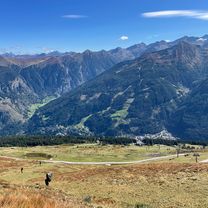
Route photos


Continue with Bikemap
Use, edit, or download this cycling route
You would like to ride Bad Gastein und Alpenhaus Prossau or customize it for your own trip? Here is what you can do with this Bikemap route:
Free features
- Save this route as favorite or in collections
- Copy & plan your own version of this route
- Sync your route with Garmin or Wahoo
Premium features
Free trial for 3 days, or one-time payment. More about Bikemap Premium.
- Navigate this route on iOS & Android
- Export a GPX / KML file of this route
- Create your custom printout (try it for free)
- Download this route for offline navigation
Discover more Premium features.
Get Bikemap PremiumFrom our community
Other popular routes starting in Bad Gastein
 EFF Bad Gastein - Bischofshofen
- Distance
- 57.1 km
- Ascent
- 397 m
- Descent
- 920 m
- Location
- Bad Gastein, Salzburg, Austria
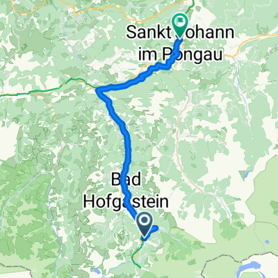 Bad Gastein - St Johann im Pongau
- Distance
- 42.8 km
- Ascent
- 536 m
- Descent
- 1,026 m
- Location
- Bad Gastein, Salzburg, Austria
 Stubnerkogel von Bad Gastein
- Distance
- 21.1 km
- Ascent
- 1,501 m
- Descent
- 329 m
- Location
- Bad Gastein, Salzburg, Austria
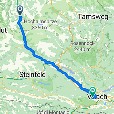 Erlengrund camp-Gerli camp (Villach) 103 km
- Distance
- 102.8 km
- Ascent
- 1,339 m
- Descent
- 1,640 m
- Location
- Bad Gastein, Salzburg, Austria
 Etappe 3: Von Bad Gastein nach Spittal an der Drau– Alpe-Adria-Radweg
- Distance
- 64 km
- Ascent
- 1,819 m
- Descent
- 2,351 m
- Location
- Bad Gastein, Salzburg, Austria
 Graukogel Bergstation
- Distance
- 19.9 km
- Ascent
- 1,094 m
- Descent
- 1,095 m
- Location
- Bad Gastein, Salzburg, Austria
 Astenalmen von Bad Gastein
- Distance
- 14 km
- Ascent
- 235 m
- Descent
- 238 m
- Location
- Bad Gastein, Salzburg, Austria
 Von Bad Gastein bis Spittal an der Drau
- Distance
- 58.3 km
- Ascent
- 812 m
- Descent
- 1,327 m
- Location
- Bad Gastein, Salzburg, Austria
Open it in the app