

France - été 2019
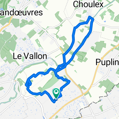
A cycling route starting in Puplinge, Canton of Geneva, Switzerland.
Overview
About this route
With Stéph - 6 weeks - 2200 kilometers according to my computer! Approximate route. We slept at:
-
the Vallée de Joux,
-
at Régine's
-
at Maxime's
-
at Muriel's
-
Belfort camping
-
5 nights at Justine's
-
one night in Louvière (guesthouse)
-
at Bertrand Thiebault's
-
2 nights at Aline's in Troyes
-
one night at a campsite south of Tonnerre in Lézinnes
-
2 nights at Precy sous Thil at Guillaume's
-
one night camping at Lake Saint Agnan
-
a guesthouse near Glux en Glenn
-
a campsite in Dornes (very hot)
-
2 nights in a hotel in Montluçon (rain and thunderstorm)
-
one night at Aubusson campsite
-
2 nights at Mara and José's (near Gentioux Pigerolles)
-
one night in Corrèze
-
one night in Altillac on the banks of the Dordogne
-
a guesthouse in Entraygues
-
one night in Saint-Urcize
-
one night in Chasserades
-
one night in a horrible campsite in Orgnac (dusty, noisy).
-
4 nights in Barroux
-
one night in Crest
-
one night in a magnificent guesthouse behind the Col de Quinssieu (Les Roches)
-
one night in Paladru
-
and one night in Seyssel!
(And I climbed the Ventoux via Malaucène when we were in Barroux!)
- -:--
- Duration
- 2,122.9 km
- Distance
- 4,948 m
- Ascent
- 4,948 m
- Descent
- ---
- Avg. speed
- ---
- Max. altitude

Route quality
Waytypes & surfaces along the route
Waytypes
Road
891.6 km
(42 %)
Quiet road
594.4 km
(28 %)
Surfaces
Paved
743 km
(35 %)
Unpaved
63.7 km
(3 %)
Asphalt
679.3 km
(32 %)
Paved (undefined)
42.5 km
(2 %)
Continue with Bikemap
Use, edit, or download this cycling route
You would like to ride France - été 2019 or customize it for your own trip? Here is what you can do with this Bikemap route:
Free features
- Save this route as favorite or in collections
- Copy & plan your own version of this route
- Split it into stages to create a multi-day tour
- Sync your route with Garmin or Wahoo
Premium features
Free trial for 3 days, or one-time payment. More about Bikemap Premium.
- Navigate this route on iOS & Android
- Export a GPX / KML file of this route
- Create your custom printout (try it for free)
- Download this route for offline navigation
Discover more Premium features.
Get Bikemap PremiumFrom our community
Other popular routes starting in Puplinge
 Avec Stéph et Aïmi
- Distance
- 20.4 km
- Ascent
- 134 m
- Descent
- 133 m
- Location
- Puplinge, Canton of Geneva, Switzerland
 Eté 2017 - Choulex - San Sebastian
- Distance
- 1,174.1 km
- Ascent
- 3,666 m
- Descent
- 4,037 m
- Location
- Puplinge, Canton of Geneva, Switzerland
 60km Rundfahrt relativ flach
- Distance
- 58.7 km
- Ascent
- 235 m
- Descent
- 234 m
- Location
- Puplinge, Canton of Geneva, Switzerland
 Tour du Salève - Croisette Cruseilles Croisette
- Distance
- 79.7 km
- Ascent
- 1,550 m
- Descent
- 1,550 m
- Location
- Puplinge, Canton of Geneva, Switzerland
 tour du salève
- Distance
- 59.9 km
- Ascent
- 1,159 m
- Descent
- 1,049 m
- Location
- Puplinge, Canton of Geneva, Switzerland
 Chemin des Agrimenseurs, Thônex à Chemin des Sillons 7, Thônex
- Distance
- 7.1 km
- Ascent
- 7 m
- Descent
- 7 m
- Location
- Puplinge, Canton of Geneva, Switzerland
 Choulex - Tanay (projet)
- Distance
- 89.7 km
- Ascent
- 3,482 m
- Descent
- 2,498 m
- Location
- Puplinge, Canton of Geneva, Switzerland
 deux fois le Jura
- Distance
- 97.1 km
- Ascent
- 1,821 m
- Descent
- 1,723 m
- Location
- Puplinge, Canton of Geneva, Switzerland
Open it in the app