

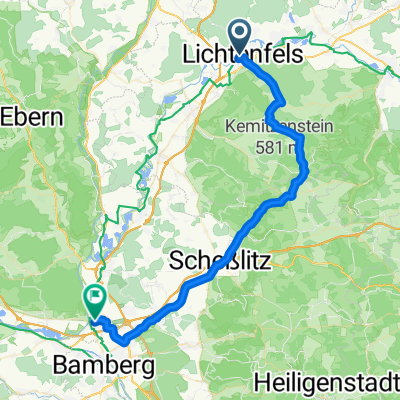
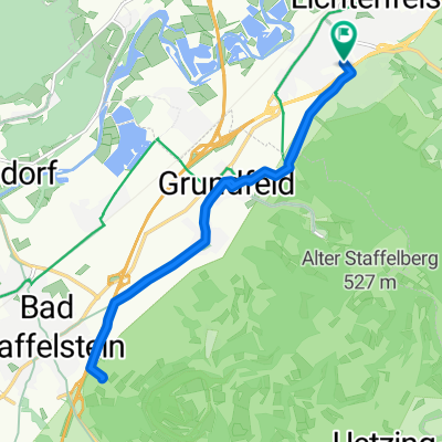
Lichtenfels-Kulmbach
A cycling route starting in Lichtenfels, Bavaria, Germany.
Overview
About this route
- 1 h 27 min
- Duration
- 35.7 km
- Distance
- 210 m
- Ascent
- 174 m
- Descent
- 24.8 km/h
- Avg. speed
- ---
- Max. altitude

Route quality
Waytypes & surfaces along the route
Waytypes
Path
12.1 km
(34 %)
Quiet road
8.9 km
(25 %)
Surfaces
Paved
28.6 km
(80 %)
Unpaved
0.4 km
(1 %)
Asphalt
26.8 km
(75 %)
Concrete
1.8 km
(5 %)
Continue with Bikemap
Use, edit, or download this cycling route
You would like to ride Lichtenfels-Kulmbach or customize it for your own trip? Here is what you can do with this Bikemap route:
Free features
- Save this route as favorite or in collections
- Copy & plan your own version of this route
- Sync your route with Garmin or Wahoo
Premium features
Free trial for 3 days, or one-time payment. More about Bikemap Premium.
- Navigate this route on iOS & Android
- Export a GPX / KML file of this route
- Create your custom printout (try it for free)
- Download this route for offline navigation
Discover more Premium features.
Get Bikemap PremiumFrom our community
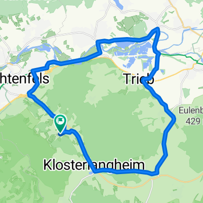
Other popular routes starting in Lichtenfels
 Lichtenfels nach Bamberg
- Distance
- 38.3 km
- Ascent
- 35 m
- Descent
- 62 m
- Location
- Lichtenfels, Bavaria, Germany
 test1
test1- Distance
- 16 km
- Ascent
- 232 m
- Descent
- 143 m
- Location
- Lichtenfels, Bavaria, Germany
 Lichtenfels Bahnhof nach Marktplatz
- Distance
- 44.9 km
- Ascent
- 465 m
- Descent
- 488 m
- Location
- Lichtenfels, Bavaria, Germany
 Lichtenfels-Kulmbach
- Distance
- 35.7 km
- Ascent
- 210 m
- Descent
- 174 m
- Location
- Lichtenfels, Bavaria, Germany
 Am Hahn nach Am Hahn
- Distance
- 23.9 km
- Ascent
- 186 m
- Descent
- 233 m
- Location
- Lichtenfels, Bavaria, Germany
 Schneidmühlweg nach Grünbaumer Straße 12F
- Distance
- 33.4 km
- Ascent
- 199 m
- Descent
- 157 m
- Location
- Lichtenfels, Bavaria, Germany
 Am Feldlein nach Weidhäuser Straße
- Distance
- 18 km
- Ascent
- 152 m
- Descent
- 122 m
- Location
- Lichtenfels, Bavaria, Germany
 Lif Ste 20.9.25
- Distance
- 14.3 km
- Ascent
- 102 m
- Descent
- 152 m
- Location
- Lichtenfels, Bavaria, Germany
Open it in the app