4: POLLEIN / SAINT-CHRISTOPHE (Croux)
- 153.7 km
- 2,239 m
- 2,003 m
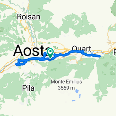
- Pollein, Aosta Valley, Italy
Overview
created this 6 years ago
Part of
4 stages
Route quality
Road
30.4 km
(24 %)
Quiet road
21.5 km
(17 %)
Paved
96.2 km
(76 %)
Asphalt
95 km
(75 %)
Concrete
1.3 km
(1 %)
Undefined
30.4 km
(24 %)
Continue with Bikemap
You would like to ride 2019_Francia_1_Aosta-Châtel or customize it for your own trip? Here is what you can do with this Bikemap route:
Free trial for 3 days, or one-time payment. More about Bikemap Premium.
Discover more Premium features.
Get Bikemap PremiumFrom our community
Open it in the app