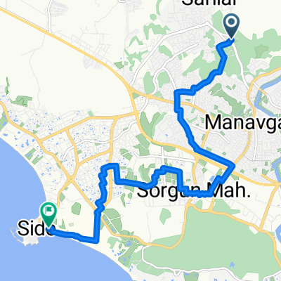
#1-1 Вокруг озера 1
- 44.1 km
- 1,021 m
- 1,020 m
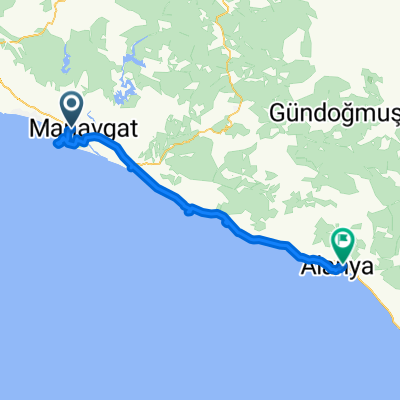
- Manavgat, Antalya Province, Republic of Türkiye
A cycling route starting in Manavgat, Antalya Province, Republic of Türkiye.
Overview
Starting from the Historical Yellow Bridge in the town center to the entrance of the ancient city of Side.
created this 6 years ago
Continue with Bikemap
You would like to ride Side Antik Kent or customize it for your own trip? Here is what you can do with this Bikemap route:
Free trial for 3 days, or one-time payment. More about Bikemap Premium.
Discover more Premium features.
Get Bikemap PremiumFrom our community
Open it in the app