Langlauf
- 2.2 km
- 18 m
- 18 m
- Inzell, Bavaria, Germany
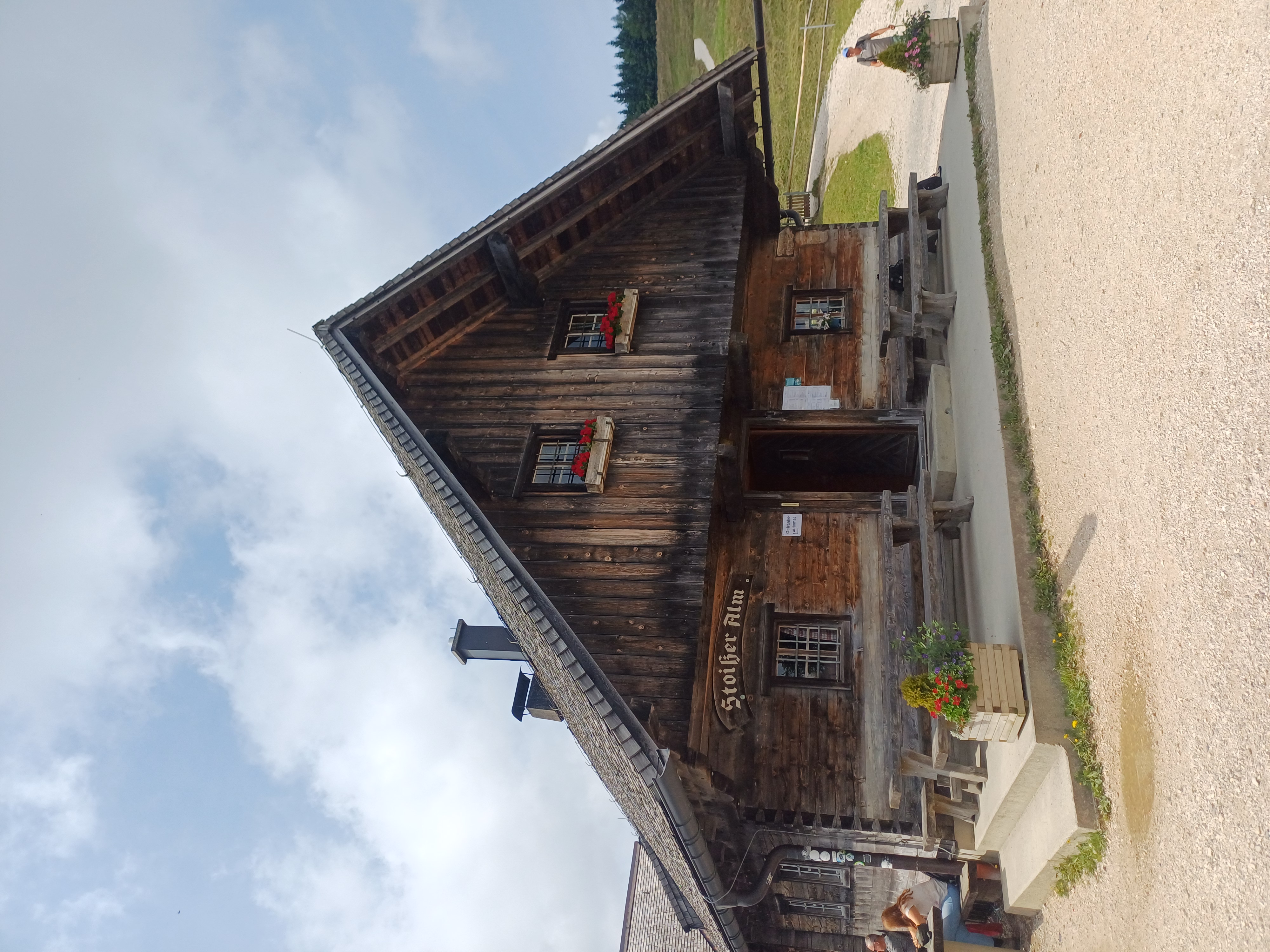
Beautiful ride with 80% gravel, 10% asphalt, and 10% trail


Track
17.9 km81 %Quiet road
2.9 km13 %Paved
1.8 km(8 %)Unpaved
19 km(86 %)Gravel
13 km59 %Unpaved (undefined)
4.6 km21 %Free trial for 3 days, or one-time payment. More about Bikemap Premium.
Discover more Premium features.
Get Bikemap PremiumOpen it in the app