

kitsrun
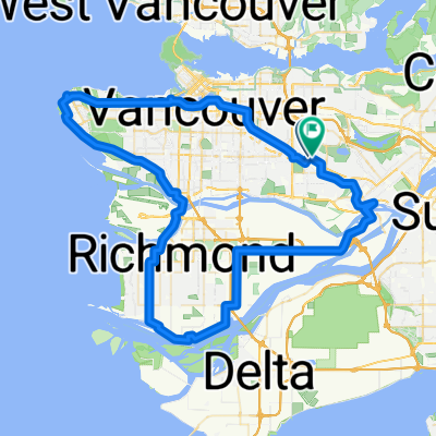
A cycling route starting in Burnaby, British Columbia, Canada.
Overview
About this route
- 2 h 10 min
- Duration
- 33.8 km
- Distance
- 1,776 m
- Ascent
- 1,772 m
- Descent
- 15.5 km/h
- Avg. speed
- ---
- Max. altitude

Route quality
Waytypes & surfaces along the route
Waytypes
Cycleway
13.2 km
(39 %)
Quiet road
9.1 km
(27 %)
Surfaces
Paved
27 km
(80 %)
Unpaved
2.4 km
(7 %)
Asphalt
23 km
(68 %)
Concrete
3.4 km
(10 %)
Continue with Bikemap
Use, edit, or download this cycling route
You would like to ride kitsrun or customize it for your own trip? Here is what you can do with this Bikemap route:
Free features
- Save this route as favorite or in collections
- Copy & plan your own version of this route
- Sync your route with Garmin or Wahoo
Premium features
Free trial for 3 days, or one-time payment. More about Bikemap Premium.
- Navigate this route on iOS & Android
- Export a GPX / KML file of this route
- Create your custom printout (try it for free)
- Download this route for offline navigation
Discover more Premium features.
Get Bikemap PremiumFrom our community
Other popular routes starting in Burnaby
 burnaby ubc Richmond loop
- Distance
- 82.9 km
- Ascent
- 607 m
- Descent
- 607 m
- Location
- Burnaby, British Columbia, Canada
 1st Century Ride - Canadian Version (Vancouver-Horseshoe Bay)
- Distance
- 100.1 km
- Ascent
- 56 m
- Descent
- 173 m
- Location
- Burnaby, British Columbia, Canada
 SFU, TCT North Road, Stoney Creek
- Distance
- 17.6 km
- Ascent
- 393 m
- Descent
- 384 m
- Location
- Burnaby, British Columbia, Canada
 BC Pky, Burnaby to Southwynde Ave, Burnaby
- Distance
- 25.1 km
- Ascent
- 307 m
- Descent
- 378 m
- Location
- Burnaby, British Columbia, Canada
 East Van Breweries
- Distance
- 23.7 km
- Ascent
- 107 m
- Descent
- 107 m
- Location
- Burnaby, British Columbia, Canada
 BBY Mtn to Stanley Park Loop
- Distance
- 62.5 km
- Ascent
- 934 m
- Descent
- 934 m
- Location
- Burnaby, British Columbia, Canada
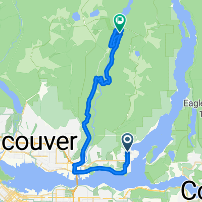 NB Deep Cove Rd @ Badger Rd to Seymour Valley Trailway
- Distance
- 33.7 km
- Ascent
- 818 m
- Descent
- 652 m
- Location
- Burnaby, British Columbia, Canada
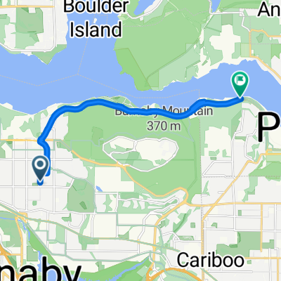 Burnaby Barnet
- Distance
- 10.5 km
- Ascent
- 86 m
- Descent
- 150 m
- Location
- Burnaby, British Columbia, Canada
Open it in the app