Cencenighe - Agordo defaticamento
- 32.3 km
- 422 m
- 422 m
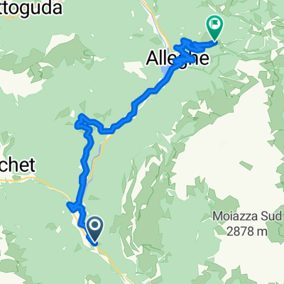
- Cencenighe Agordino, Veneto, Italy
A cycling route starting in Cencenighe Agordino, Veneto, Italy.
Overview
Duran-Staulanza-Falzarego-Giau-Fedaia-Pordoi
created this 6 years ago
Route quality
Quiet road
28.7 km
(18 %)
Track
8 km
(5 %)
Paved
129 km
(81 %)
Unpaved
1.6 km
(1 %)
Asphalt
125.8 km
(79 %)
Paved (undefined)
3.2 km
(2 %)
Continue with Bikemap
You would like to ride Belluno Dolomitak - Cencenigue Agordino - Arabba or customize it for your own trip? Here is what you can do with this Bikemap route:
Free trial for 3 days, or one-time payment. More about Bikemap Premium.
Discover more Premium features.
Get Bikemap PremiumFrom our community
Open it in the app