

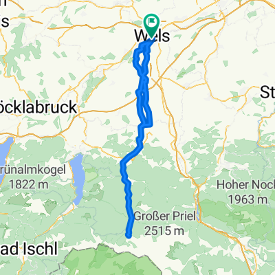
WelsWest-Scharten(Roithen)-WelsWest
A cycling route starting in Thalheim bei Wels, Upper Austria, Austria.
Overview
About this route
- -:--
- Duration
- 45.6 km
- Distance
- 568 m
- Ascent
- 564 m
- Descent
- ---
- Avg. speed
- ---
- Max. altitude

Route quality
Waytypes & surfaces along the route
Waytypes
Quiet road
24.2 km
(53 %)
Track
7.3 km
(16 %)
Surfaces
Paved
18.2 km
(40 %)
Unpaved
6.8 km
(15 %)
Asphalt
17.8 km
(39 %)
Unpaved (undefined)
4.6 km
(10 %)
Continue with Bikemap
Use, edit, or download this cycling route
You would like to ride WelsWest-Scharten(Roithen)-WelsWest or customize it for your own trip? Here is what you can do with this Bikemap route:
Free features
- Save this route as favorite or in collections
- Copy & plan your own version of this route
- Sync your route with Garmin or Wahoo
Premium features
Free trial for 3 days, or one-time payment. More about Bikemap Premium.
- Navigate this route on iOS & Android
- Export a GPX / KML file of this route
- Create your custom printout (try it for free)
- Download this route for offline navigation
Discover more Premium features.
Get Bikemap PremiumFrom our community
Other popular routes starting in Thalheim bei Wels
 Almsee-Tour
- Distance
- 115.1 km
- Ascent
- 1,349 m
- Descent
- 1,348 m
- Location
- Thalheim bei Wels, Upper Austria, Austria
 WÖS CALLING
- Distance
- 239.3 km
- Ascent
- 124 m
- Descent
- 254 m
- Location
- Thalheim bei Wels, Upper Austria, Austria
 Wels nach Leonding
- Distance
- 31.7 km
- Ascent
- 71 m
- Descent
- 113 m
- Location
- Thalheim bei Wels, Upper Austria, Austria
 Von Wels bis Schlüßlberg
- Distance
- 17.6 km
- Ascent
- 357 m
- Descent
- 345 m
- Location
- Thalheim bei Wels, Upper Austria, Austria
 Steinhaus-Hubi-Eberstalzell-Steinerkirchen-Gartner
- Distance
- 51.5 km
- Ascent
- 420 m
- Descent
- 421 m
- Location
- Thalheim bei Wels, Upper Austria, Austria
 Wels - Riethal - Pennewang - Wels
- Distance
- 41.4 km
- Ascent
- 182 m
- Descent
- 184 m
- Location
- Thalheim bei Wels, Upper Austria, Austria
 WelsWest-Scharten(Roithen)-WelsWest
- Distance
- 45.6 km
- Ascent
- 568 m
- Descent
- 564 m
- Location
- Thalheim bei Wels, Upper Austria, Austria
 Lindenstraße 24, Wels nach Steinbergstraße 5, Marchtrenk
- Distance
- 12.6 km
- Ascent
- 3 m
- Descent
- 67 m
- Location
- Thalheim bei Wels, Upper Austria, Austria
Open it in the app