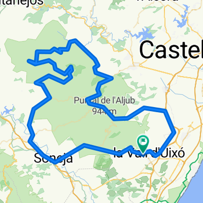
20120609
- 78.8 km
- 813 m
- 813 m
- Alfondeguilla, Valencia, Spain
A cycling route starting in Alfondeguilla, Valencia, Spain.
Overview
created this 6 years ago
\"")
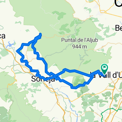
Route quality
Road
22.1 km
(24 %)
Quiet road
21.2 km
(23 %)
Paved
19.4 km
(21 %)
Unpaved
7.4 km
(8 %)
Asphalt
12 km
(13 %)
Paved (undefined)
7.4 km
(8 %)
Continue with Bikemap
You would like to ride LA VALL - ALCOTAS (POR BEJÍS) or customize it for your own trip? Here is what you can do with this Bikemap route:
Free trial for 3 days, or one-time payment. More about Bikemap Premium.
Discover more Premium features.
Get Bikemap PremiumFrom our community
Open it in the app