

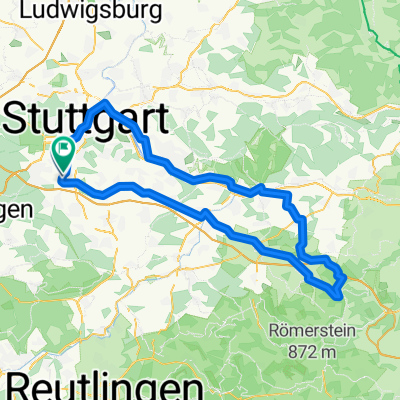
Möhringen - Rund um den Flughafen (37km)
A cycling route starting in Leinfelden-Echterdingen, Baden-Wurttemberg, Germany.
Overview
About this route
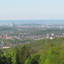
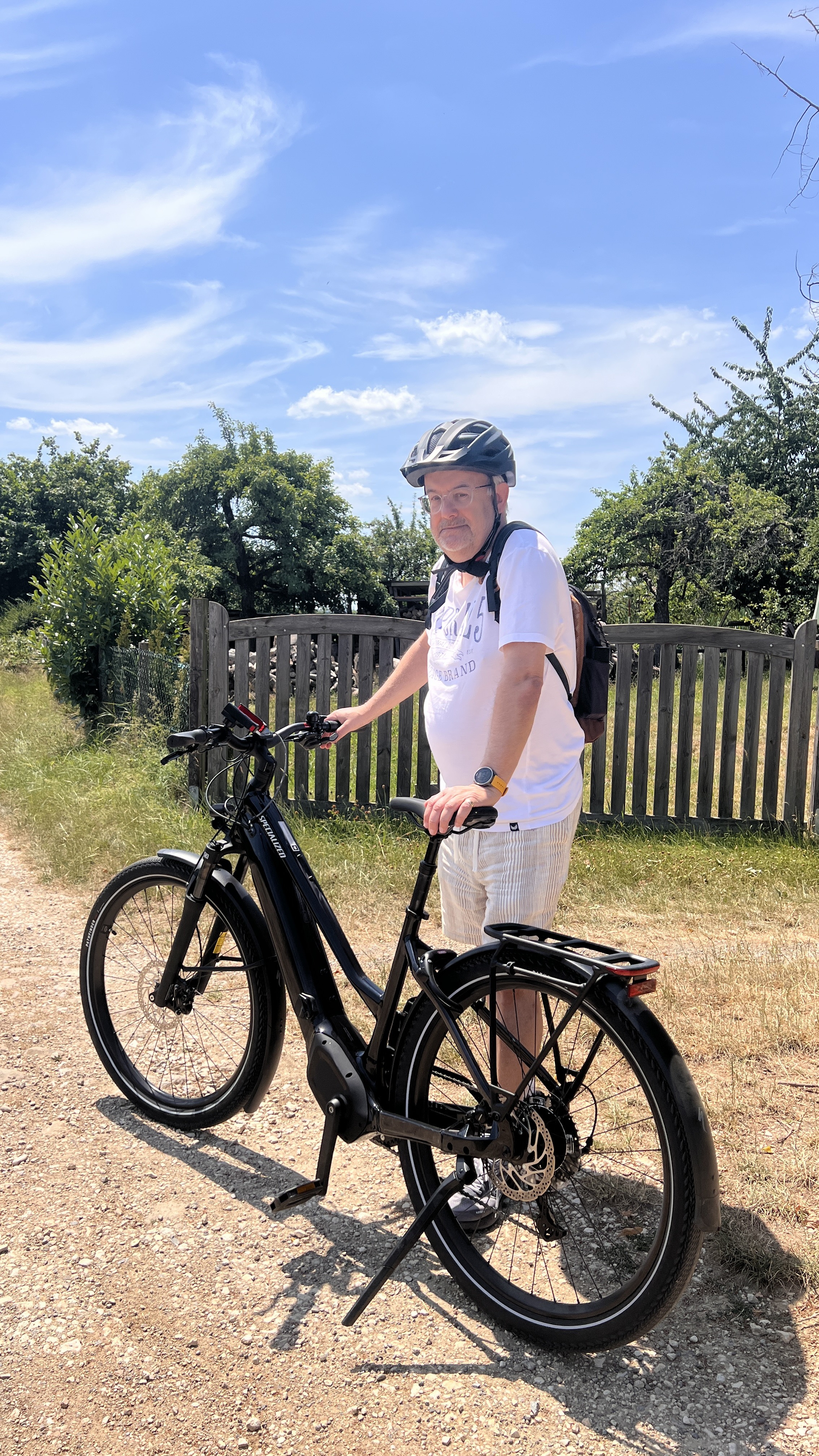
Surprisingly beautiful route around Stuttgart Airport. Great view of the runway and taxiway, and otherwise a very relaxed tour along mostly asphalted or concreted side paths. You don't feel the hustle and bustle of the airport. Right along the path, there are few opportunities for refreshment - apart from the Italian ice cream shop in Echterdingen (or with a small detour to the very good 'Eisschnuppe' also in Plieningen)
- -:--
- Duration
- 36.4 km
- Distance
- 194 m
- Ascent
- 201 m
- Descent
- ---
- Avg. speed
- 427 m
- Max. altitude

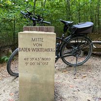
Route photos
\"")
\"")
\"")
\"")
\"")
Route quality
Waytypes & surfaces along the route
Waytypes
Track
23.3 km
(64 %)
Quiet road
7.6 km
(21 %)
Surfaces
Paved
33.1 km
(91 %)
Unpaved
2.5 km
(7 %)
Asphalt
26.2 km
(72 %)
Concrete
4.4 km
(12 %)
Continue with Bikemap
Use, edit, or download this cycling route
You would like to ride Möhringen - Rund um den Flughafen (37km) or customize it for your own trip? Here is what you can do with this Bikemap route:
Free features
- Save this route as favorite or in collections
- Copy & plan your own version of this route
- Sync your route with Garmin or Wahoo
Premium features
Free trial for 3 days, or one-time payment. More about Bikemap Premium.
- Navigate this route on iOS & Android
- Export a GPX / KML file of this route
- Create your custom printout (try it for free)
- Download this route for offline navigation
Discover more Premium features.
Get Bikemap PremiumFrom our community
Other popular routes starting in Leinfelden-Echterdingen
 Möhringen - Bad Uracher Wasserfall 41km 450hm
- Distance
- 40.8 km
- Ascent
- 364 m
- Descent
- 326 m
- Location
- Leinfelden-Echterdingen, Baden-Wurttemberg, Germany
 2009-06-18 MTB
- Distance
- 35.4 km
- Ascent
- 529 m
- Descent
- 529 m
- Location
- Leinfelden-Echterdingen, Baden-Wurttemberg, Germany
 Steckfeld - RadelThon - Botnang - West - Heslach - Zacke - Degerloch - Möhringen - Steckfeld
- Distance
- 44 km
- Ascent
- 508 m
- Descent
- 507 m
- Location
- Leinfelden-Echterdingen, Baden-Wurttemberg, Germany
 Möhringen 20km Runde_Waldzentrum Sindelfingen 210hm
- Distance
- 20 km
- Ascent
- 199 m
- Descent
- 194 m
- Location
- Leinfelden-Echterdingen, Baden-Wurttemberg, Germany
 Oberaichen - Schlosssolitude
- Distance
- 46.2 km
- Ascent
- 422 m
- Descent
- 421 m
- Location
- Leinfelden-Echterdingen, Baden-Wurttemberg, Germany
 Filderhauptstraße, Stuttgart nach Oskar-Schlemmer-Weg, Ostfildern
- Distance
- 6.9 km
- Ascent
- 108 m
- Descent
- 113 m
- Location
- Leinfelden-Echterdingen, Baden-Wurttemberg, Germany
 Fahrradtour nach Landgasthof Rössle
- Distance
- 104 km
- Ascent
- 978 m
- Descent
- 977 m
- Location
- Leinfelden-Echterdingen, Baden-Wurttemberg, Germany
 Möhringen 49km Mitte BW_Maichingen Dagersheim Böblingen Römerstr. 490hm
- Distance
- 48.9 km
- Ascent
- 348 m
- Descent
- 353 m
- Location
- Leinfelden-Echterdingen, Baden-Wurttemberg, Germany
Open it in the app