

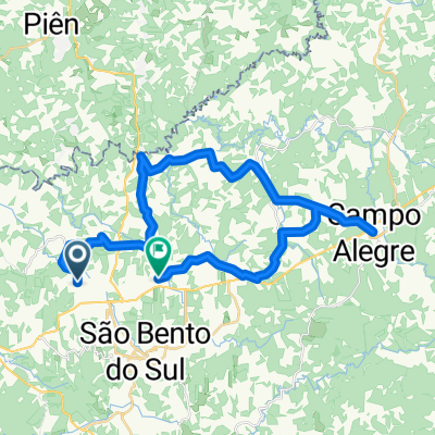
Campo Alegre - Rio Natal
A cycling route starting in São Bento do Sul, Santa Catarina, Brazil.
Overview
About this route
Campo Alegre - Rio Natal
- -:--
- Duration
- 48.5 km
- Distance
- 546 m
- Ascent
- 1,212 m
- Descent
- ---
- Avg. speed
- ---
- Max. altitude

Route quality
Waytypes & surfaces along the route
Waytypes
Road
33.5 km
(69 %)
Quiet road
14.6 km
(30 %)
Undefined
0.5 km
(1 %)
Surfaces
Paved
3.9 km
(8 %)
Unpaved
39.3 km
(81 %)
Gravel
36.4 km
(75 %)
Asphalt
3.9 km
(8 %)
Route highlights
Points of interest along the route
Point of interest after 11.4 km
Atalho 1
Point of interest after 37 km
Atalho 2
Point of interest after 38.4 km
Estação Ferroviária Rio Natal
Continue with Bikemap
Use, edit, or download this cycling route
You would like to ride Campo Alegre - Rio Natal or customize it for your own trip? Here is what you can do with this Bikemap route:
Free features
- Save this route as favorite or in collections
- Copy & plan your own version of this route
- Sync your route with Garmin or Wahoo
Premium features
Free trial for 3 days, or one-time payment. More about Bikemap Premium.
- Navigate this route on iOS & Android
- Export a GPX / KML file of this route
- Create your custom printout (try it for free)
- Download this route for offline navigation
Discover more Premium features.
Get Bikemap PremiumFrom our community
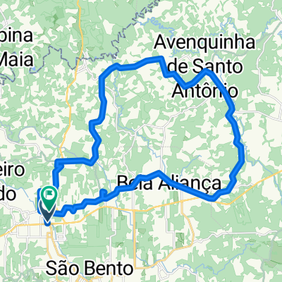
Other popular routes starting in São Bento do Sul
 São Bento a Barra Velha via Corupá 2
- Distance
- 114.2 km
- Ascent
- 233 m
- Descent
- 1,046 m
- Location
- São Bento do Sul, Santa Catarina, Brazil
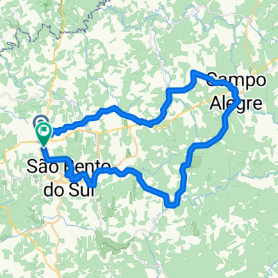
 De Rua Canoinhas a Estrada Dona Francisca
- Distance
- 45.1 km
- Ascent
- 904 m
- Descent
- 888 m
- Location
- São Bento do Sul, Santa Catarina, Brazil
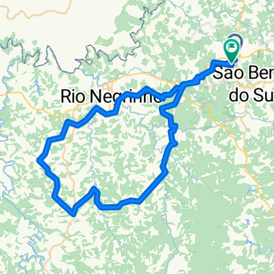
 São Bento do Sul - Curitiba
- Distance
- 107 km
- Ascent
- 579 m
- Descent
- 510 m
- Location
- São Bento do Sul, Santa Catarina, Brazil
 De Rua Antônio Kaesemodel a Rua Jorge Diener
- Distance
- 35.7 km
- Ascent
- 647 m
- Descent
- 663 m
- Location
- São Bento do Sul, Santa Catarina, Brazil
 De Santa Catarina a Rua Antônio Kaesemodel
- Distance
- 48 km
- Ascent
- 1,009 m
- Descent
- 1,016 m
- Location
- São Bento do Sul, Santa Catarina, Brazil
 sb-tb-bq
- Distance
- 162 km
- Ascent
- 1,046 m
- Descent
- 1,811 m
- Location
- São Bento do Sul, Santa Catarina, Brazil
 De Rua Antônio Kaesemodel a Avenida São Bento
- Distance
- 70.4 km
- Ascent
- 1,724 m
- Descent
- 1,723 m
- Location
- São Bento do Sul, Santa Catarina, Brazil
 São Bento a Barra Velha via Corupá
- Distance
- 123.4 km
- Ascent
- 428 m
- Descent
- 1,241 m
- Location
- São Bento do Sul, Santa Catarina, Brazil
Open it in the app