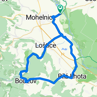
Bouzov - kemp
- 33.5 km
- 365 m
- 366 m
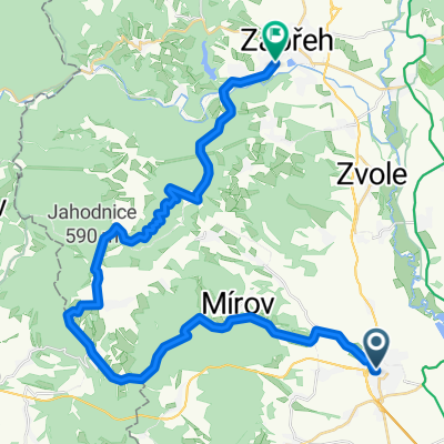
- Mohelnice, Olomoucký kraj, Czechia
A cycling route starting in Mohelnice, Olomoucký kraj, Czechia.
Overview
created this 17 years ago
Route quality
Road
31.5 km
(15 %)
Quiet road
8.4 km
(4 %)
Paved
136.4 km
(65 %)
Asphalt
136.4 km
(65 %)
Undefined
73.5 km
(35 %)
Continue with Bikemap
You would like to ride Mohelnice-Hanušovice-Ramzová-Jeseník-Rejvíz-Vrbno-Nové Heřmínovy-Bruntál-Skřítek-Šumperk-Mohelnice or customize it for your own trip? Here is what you can do with this Bikemap route:
Free trial for 3 days, or one-time payment. More about Bikemap Premium.
Discover more Premium features.
Get Bikemap PremiumFrom our community
Open it in the app