

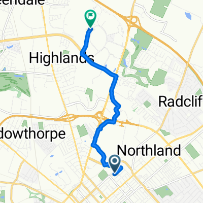
High-speed route in Lexington
A cycling route starting in Lexington-Fayette, Kentucky, United States.
Overview
About this route
- 1 h 16 min
- Duration
- 26.5 km
- Distance
- 171 m
- Ascent
- 171 m
- Descent
- 21 km/h
- Avg. speed
- ---
- Max. altitude

Route photos


Continue with Bikemap
Use, edit, or download this cycling route
You would like to ride High-speed route in Lexington or customize it for your own trip? Here is what you can do with this Bikemap route:
Free features
- Save this route as favorite or in collections
- Copy & plan your own version of this route
- Sync your route with Garmin or Wahoo
Premium features
Free trial for 3 days, or one-time payment. More about Bikemap Premium.
- Navigate this route on iOS & Android
- Export a GPX / KML file of this route
- Create your custom printout (try it for free)
- Download this route for offline navigation
Discover more Premium features.
Get Bikemap PremiumFrom our community
Other popular routes starting in Lexington-Fayette
 High-speed route in Lexington
- Distance
- 26.5 km
- Ascent
- 171 m
- Descent
- 171 m
- Location
- Lexington-Fayette, Kentucky, United States
3126®
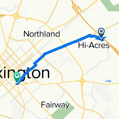
Pedaling for a Purpose w/ Gabe and Zach- Distance
- 6.2 km
- Ascent
- 31 m
- Descent
- 83 m
- Location
- Lexington-Fayette, Kentucky, United States
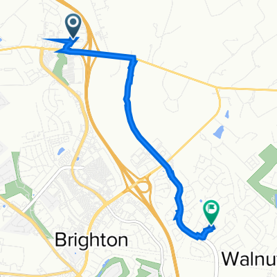
 Brighton East Rail Trail, Lexington to Brighton East Rail Trail, Lexington
- Distance
- 0.6 km
- Ascent
- 0 m
- Descent
- 0 m
- Location
- Lexington-Fayette, Kentucky, United States
 To Broomwagon
- Distance
- 8.4 km
- Ascent
- 41 m
- Descent
- 38 m
- Location
- Lexington-Fayette, Kentucky, United States
 1505 Continental Square, Lexington to 1505 Continental Square, Lexington
- Distance
- 17.2 km
- Ascent
- 408 m
- Descent
- 405 m
- Location
- Lexington-Fayette, Kentucky, United States
 Elkhorn Road 2260, Lexington to Orchard Grass Road 3201, Lexington
- Distance
- 5.3 km
- Ascent
- 15 m
- Descent
- 0 m
- Location
- Lexington-Fayette, Kentucky, United States
 Anniston Drive 538, Lexington to East High Street 283, Lexington
- Distance
- 6.3 km
- Ascent
- 4 m
- Descent
- 4 m
- Location
- Lexington-Fayette, Kentucky, United States
 Deer Haven Lane 1970, Lexington to Deer Haven Lane 1945, Lexington
- Distance
- 11.3 km
- Ascent
- 70 m
- Descent
- 69 m
- Location
- Lexington-Fayette, Kentucky, United States
Open it in the app