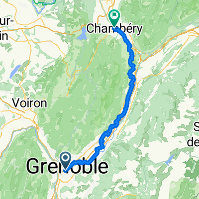
Cols du Ayes, Lautaret amd Mouilles
A cycling route starting in Grenoble, Auvergne-Rh么ne-Alpes, France.
Overview
About this route
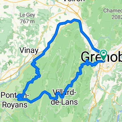
Great ride and better option way back to stick to the D280 and stay on the mountain road, rather than dropping back down into the valley on the flat. Awesome views, great profile with 7/8 cols - good workout. Very few cars in the area !!
- -:--
- Duration
- 95.1 km
- Distance
- 1,397 m
- Ascent
- 1,397 m
- Descent
- ---
- Avg. speed
- ---
- Max. altitude
Route quality
Waytypes & surfaces along the route
Waytypes
Quiet road
14.3 km
(15 %)
Road
5.7 km
(6 %)
Surfaces
Paved
54.2 km
(57 %)
Unpaved
1.9 km
(2 %)
Asphalt
53.2 km
(56 %)
Ground
1.9 km
(2 %)
Continue with Bikemap
Use, edit, or download this cycling route
You would like to ride Cols du Ayes, Lautaret amd Mouilles or customize it for your own trip? Here is what you can do with this Bikemap route:
Free features
- Save this route as favorite or in collections
- Copy & plan your own version of this route
- Split it into stages to create a multi-day tour
- Sync your route with Garmin or Wahoo
Premium features
Free trial for 3 days, or one-time payment. More about Bikemap Premium.
- Navigate this route on iOS & Android
- Export a GPX / KML file of this route
- Create your custom printout (try it for free)
- Download this route for offline navigation
Discover more Premium features.
Get Bikemap PremiumFrom our community
Other popular routes starting in Grenoble
- Chamrousse
- Distance
- 64.8 km
- Ascent
- 1,555 m
- Descent
- 1,555 m
- Location
- Grenoble, Auvergne-Rh么ne-Alpes, France
- 5 March 23, Saint Laurent (with Ste)
- Distance
- 7.4 km
- Ascent
- 40 m
- Descent
- 42 m
- Location
- Grenoble, Auvergne-Rh么ne-Alpes, France
- France - Grenoble - Col de la Placette
- Distance
- 61.5 km
- Ascent
- 502 m
- Descent
- 505 m
- Location
- Grenoble, Auvergne-Rh么ne-Alpes, France
- Chartreuse - Col de Porte et col du Coq
- Distance
- 70.2 km
- Ascent
- 1,813 m
- Descent
- 1,814 m
- Location
- Grenoble, Auvergne-Rh么ne-Alpes, France
- Chateau de Vizille
- Distance
- 33.1 km
- Ascent
- 300 m
- Descent
- 301 m
- Location
- Grenoble, Auvergne-Rh么ne-Alpes, France
- Grenoble to Saint Gervais
- Distance
- 76.9 km
- Ascent
- 58 m
- Descent
- 60 m
- Location
- Grenoble, Auvergne-Rh么ne-Alpes, France
- Day 3 - Grenoble to Saint-Pierre-d'Argen莽on
- Distance
- 99.6 km
- Ascent
- 1,451 m
- Descent
- 883 m
- Location
- Grenoble, Auvergne-Rh么ne-Alpes, France
- Grenoble Saint Nizier retour Sassenage
- Distance
- 58.3 km
- Ascent
- 972 m
- Descent
- 972 m
- Location
- Grenoble, Auvergne-Rh么ne-Alpes, France
Open it in the app