
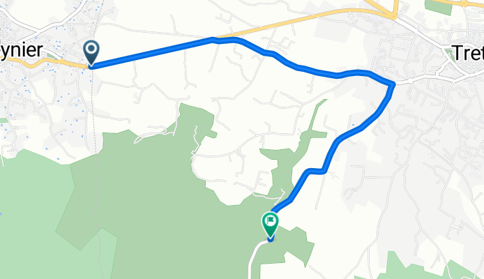
peynier-trets
A cycling route starting in Peynier, Provence-Alpes-Côte d'Azur Region, France.
Overview
About this route
ancien chemin de Peynier pour éviter Trets et aller à st zacharie en passant par le pas de la couelle ("petit galibier")
- -:--
- Duration
- 4.1 km
- Distance
- 78 m
- Ascent
- 34 m
- Descent
- ---
- Avg. speed
- ---
- Max. altitude
Route quality
Waytypes & surfaces along the route
Waytypes
Road
2 km
(49 %)
Quiet road
1.8 km
(44 %)
Busy road
0.3 km
(6 %)
Surfaces
Paved
1.4 km
(35 %)
Asphalt
1.4 km
(35 %)
Undefined
2.7 km
(65 %)
Continue with Bikemap
Use, edit, or download this cycling route
You would like to ride peynier-trets or customize it for your own trip? Here is what you can do with this Bikemap route:
Free features
- Save this route as favorite or in collections
- Copy & plan your own version of this route
- Sync your route with Garmin or Wahoo
Premium features
Free trial for 3 days, or one-time payment. More about Bikemap Premium.
- Navigate this route on iOS & Android
- Export a GPX / KML file of this route
- Create your custom printout (try it for free)
- Download this route for offline navigation
Discover more Premium features.
Get Bikemap PremiumFrom our community
Other popular routes starting in Peynier
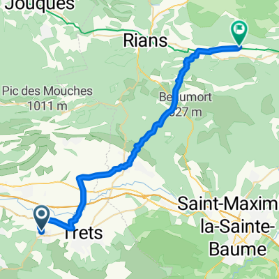 Rue Basse, Peynier à Route de la Verdière, Esparron
- Distance
- 34 km
- Ascent
- 511 m
- Descent
- 394 m
- Location
- Peynier, Provence-Alpes-Côte d'Azur Region, France
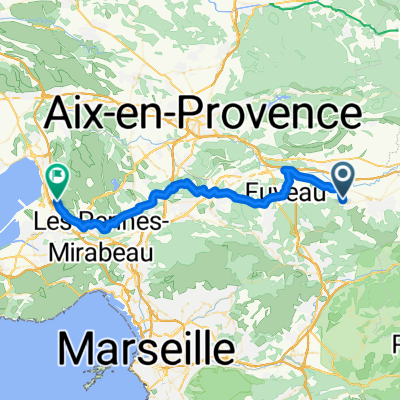
 De Route de Peynier, Trets à Ermitage Saint-Jean-du-Puy, Trets
- Distance
- 8.7 km
- Ascent
- 268 m
- Descent
- 13 m
- Location
- Peynier, Provence-Alpes-Côte d'Azur Region, France
 Paris-Nice 2010 - Stage 6 - Peynier → Tourrettes-sur-Loup
- Distance
- 220.8 km
- Ascent
- 1,876 m
- Descent
- 1,702 m
- Location
- Peynier, Provence-Alpes-Côte d'Azur Region, France
 Peynier Vitrolles
- Distance
- 46.5 km
- Ascent
- 510 m
- Descent
- 710 m
- Location
- Peynier, Provence-Alpes-Côte d'Azur Region, France
 Rue des Tourterelles, Peynier à Route de la Verdière, Esparron
- Distance
- 50.9 km
- Ascent
- 787 m
- Descent
- 652 m
- Location
- Peynier, Provence-Alpes-Côte d'Azur Region, France
 peynier/gardanne
- Distance
- 17.4 km
- Ascent
- 249 m
- Descent
- 333 m
- Location
- Peynier, Provence-Alpes-Côte d'Azur Region, France
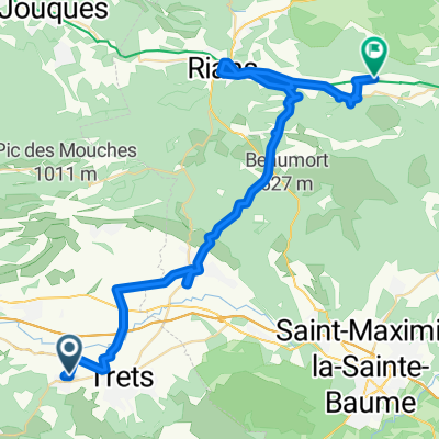
 peynier - petit gallibier
- Distance
- 13.6 km
- Ascent
- 312 m
- Descent
- 243 m
- Location
- Peynier, Provence-Alpes-Côte d'Azur Region, France
 Boucle Trets
- Distance
- 33.7 km
- Ascent
- 565 m
- Descent
- 565 m
- Location
- Peynier, Provence-Alpes-Côte d'Azur Region, France
Open it in the app