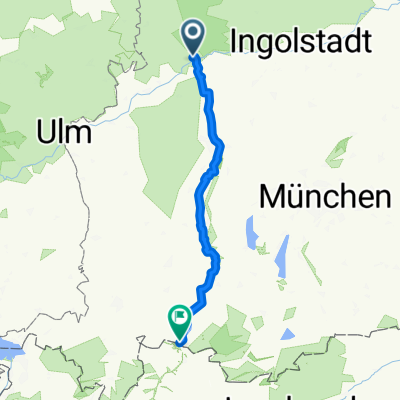
Hindenburgstraße, Donauwörth to Baldinger Straße, Nördlingen
- 35.7 km
- 190 m
- 161 m
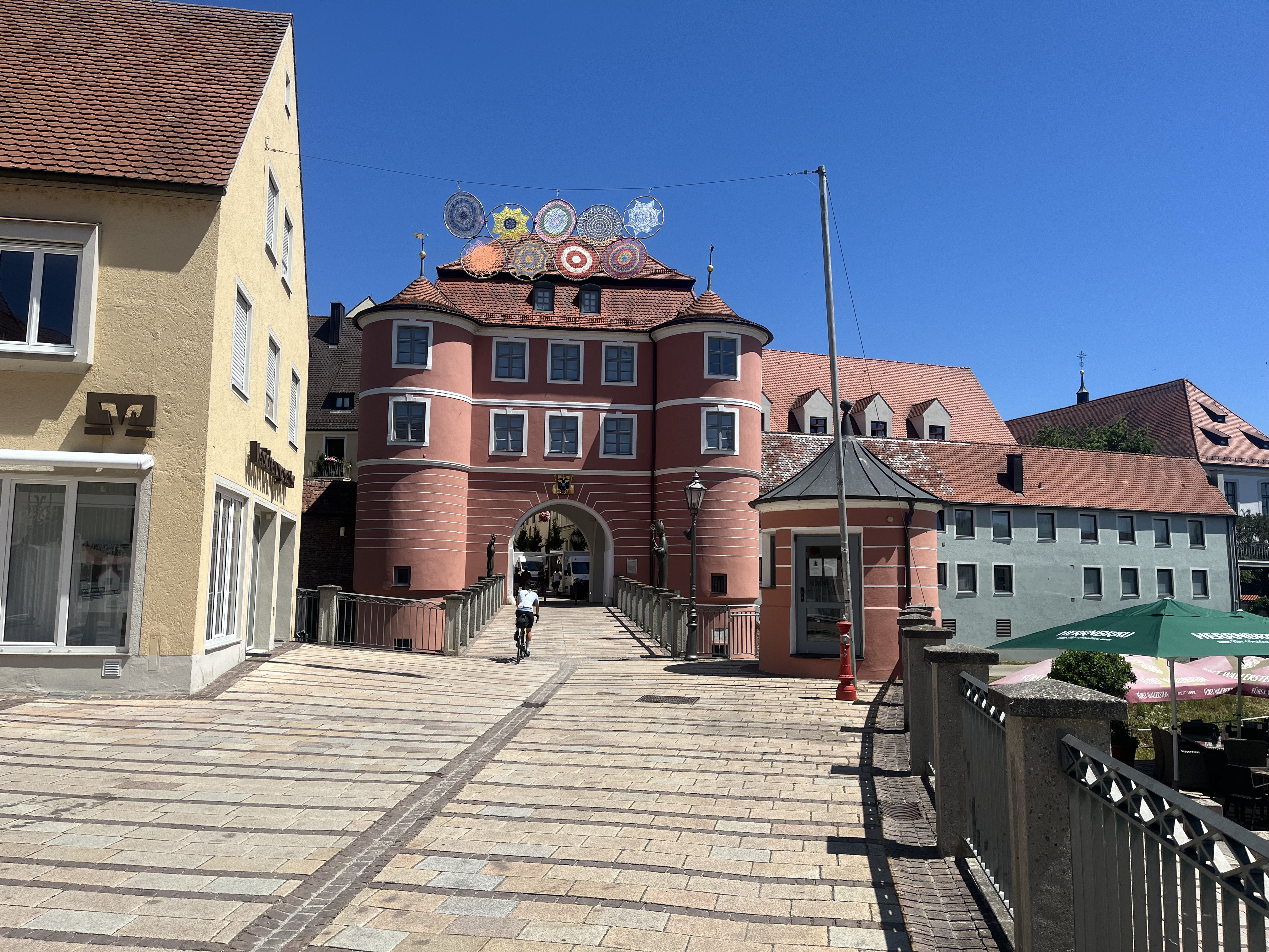
- Donauwörth, Bavaria, Germany
A cycling route starting in Donauwörth, Bavaria, Germany.
Overview
created this 6 years ago
Route quality
Track
22.1 km
(35 %)
Quiet road
16.4 km
(26 %)
Paved
38.5 km
(61 %)
Unpaved
19.6 km
(31 %)
Asphalt
37.2 km
(59 %)
Gravel
18.3 km
(29 %)
Route highlights
Continue with Bikemap
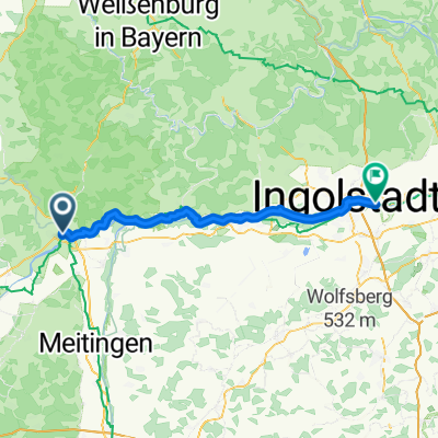
You would like to ride #6 Donauwörth to Ingolstadt or customize it for your own trip? Here is what you can do with this Bikemap route:
Free trial for 3 days, or one-time payment. More about Bikemap Premium.
Discover more Premium features.
Get Bikemap PremiumFrom our community
Open it in the app