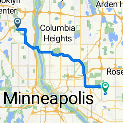

11.5 marshall-stonearch-west river
- 18.5 km
- 118 m
- 121 m
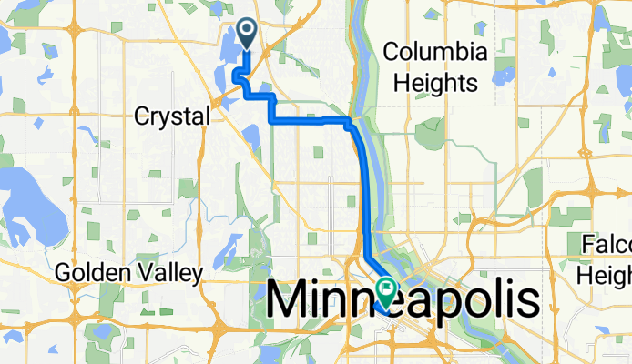
- Robbinsdale, Minnesota, United States
A cycling route starting in Robbinsdale, Minnesota, United States.
Overview
There is a bike path on Vicotry Memorial Pkwy.
Bikes lanes run in both directions on Hennepin Ave.
created this 17 years ago
Route quality
Road
7.1 km
(53 %)
Cycleway
4.2 km
(31 %)
Paved
11.5 km
(86 %)
Paved (undefined)
8.2 km
(61 %)
Asphalt
2.5 km
(19 %)
Continue with Bikemap
You would like to ride B2B00437 55429>55402 via 42 Av N, 2nd St, Hennepin Av or customize it for your own trip? Here is what you can do with this Bikemap route:
Free trial for 3 days, or one-time payment. More about Bikemap Premium.
Discover more Premium features.
Get Bikemap PremiumFrom our community
Open it in the app