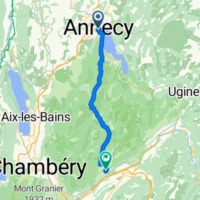
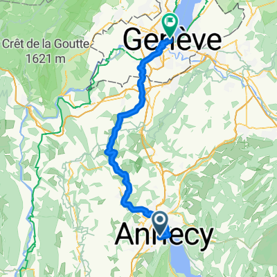
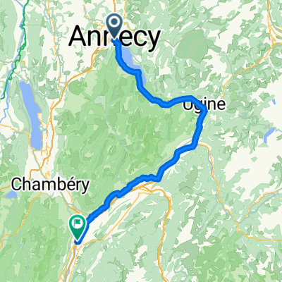
02 Annecy-Mo没tiers
A cycling route starting in Annecy, Auvergne-Rh么ne-Alpes, France.
Overview
About this route
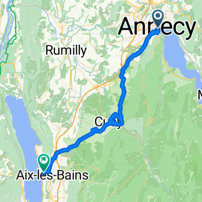
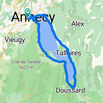
From Annecy, there is a bike path that leads directly to Albertville. Further on, it continues on secondary roads into the Olympic Valley up to Mo没tiers. The route is 95% paved.
- -:--
- Duration
- 70.8 km
- Distance
- 294 m
- Ascent
- 268 m
- Descent
- ---
- Avg. speed
- ---
- Max. altitude
Route photos
Route quality
Waytypes & surfaces along the route
Waytypes
Cycleway
35.4 km
(50 %)
Road
13.5 km
(19 %)
Surfaces
Paved
51.7 km
(73 %)
Asphalt
51.7 km
(73 %)
Undefined
19.1 km
(27 %)
Continue with Bikemap
Use, edit, or download this cycling route
You would like to ride 02 Annecy-Mo没tiers or customize it for your own trip? Here is what you can do with this Bikemap route:
Free features
- Save this route as favorite or in collections
- Copy & plan your own version of this route
- Sync your route with Garmin or Wahoo
Premium features
Free trial for 3 days, or one-time payment. More about Bikemap Premium.
- Navigate this route on iOS & Android
- Export a GPX / KML file of this route
- Create your custom printout (try it for free)
- Download this route for offline navigation
Discover more Premium features.
Get Bikemap PremiumFrom our community
Other popular routes starting in Annecy
Tour of Lake Annecy- Distance
- 39.9 km
- Ascent
- 320 m
- Descent
- 329 m
- Location
- Annecy, Auvergne-Rh么ne-Alpes, France
Day 1 - Annecy to Montgilbert- Distance
- 60.9 km
- Ascent
- 767 m
- Descent
- 678 m
- Location
- Annecy, Auvergne-Rh么ne-Alpes, France
Rhone-Alpes: Etappe 1- Distance
- 100.2 km
- Ascent
- 1,888 m
- Descent
- 1,997 m
- Location
- Annecy, Auvergne-Rh么ne-Alpes, France
Almenroute- Distance
- 52.9 km
- Ascent
- 901 m
- Descent
- 992 m
- Location
- Annecy, Auvergne-Rh么ne-Alpes, France
26-02 Rund um den Lac d'Annecy- Distance
- 40.3 km
- Ascent
- 350 m
- Descent
- 346 m
- Location
- Annecy, Auvergne-Rh么ne-Alpes, France
Route in Annecy- Distance
- 39.3 km
- Ascent
- 345 m
- Descent
- 347 m
- Location
- Annecy, Auvergne-Rh么ne-Alpes, France
FORCLAZ MONTMIN VERSANT SUD 31MAI 2014- Distance
- 54.5 km
- Ascent
- 757 m
- Descent
- 759 m
- Location
- Annecy, Auvergne-Rh么ne-Alpes, France
Quai Eustache Chappuis nach Boulevard Georges-Favon- Distance
- 48.3 km
- Ascent
- 825 m
- Descent
- 899 m
- Location
- Annecy, Auvergne-Rh么ne-Alpes, France
Open it in the app


