

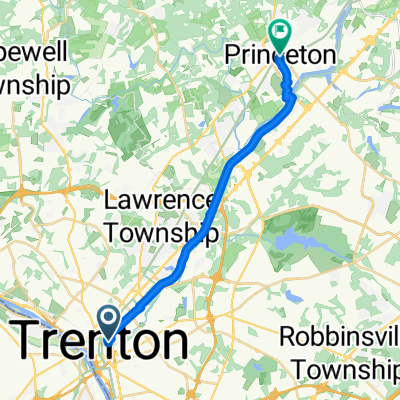
The Almost to Philly Trenton to Camden Ride
A cycling route starting in Trenton, New Jersey, United States.
Overview
About this route
A lovely ride that hugs the historic Delaware River.
- -:--
- Duration
- 66.4 km
- Distance
- 99 m
- Ascent
- 113 m
- Descent
- ---
- Avg. speed
- ---
- Max. altitude

Route quality
Waytypes & surfaces along the route
Waytypes
Quiet road
19.9 km
(30 %)
Cycleway
12.6 km
(19 %)
Surfaces
Paved
15.3 km
(23 %)
Unpaved
4 km
(6 %)
Asphalt
13.3 km
(20 %)
Gravel
4 km
(6 %)
Route highlights
Points of interest along the route
Accommodation after 22.1 km
Rocco's is our usual lunch stop. great food and service. Highly recommended.
Point of interest after 31.2 km
Junior's cheese cake -- free samples!!!
Point of interest after 49.2 km
Great Ice cream place, and a cool gazebo across the street.
Point of interest after 66.4 km
Ride ends at the last stop of the Light Rail, which will take you back to Trenton. You can take the Ben Franklln Bridge (at 3rd Street). over to Philadelphia before taking the light rail back.. We usually stop at Yard's Brewery on Delaware Avenue, along with a stop at Franklin's house, Independence Hall, and/or a champ cherry along with a cheese steak (a vegetarian version, I am sure, exists.) in South. Philly.
Continue with Bikemap
Use, edit, or download this cycling route
You would like to ride The Almost to Philly Trenton to Camden Ride or customize it for your own trip? Here is what you can do with this Bikemap route:
Free features
- Save this route as favorite or in collections
- Copy & plan your own version of this route
- Sync your route with Garmin or Wahoo
Premium features
Free trial for 3 days, or one-time payment. More about Bikemap Premium.
- Navigate this route on iOS & Android
- Export a GPX / KML file of this route
- Create your custom printout (try it for free)
- Download this route for offline navigation
Discover more Premium features.
Get Bikemap PremiumFrom our community
Other popular routes starting in Trenton
 229–299 Federal St, Trenton to 45 Pennwood Dr, Ewing
- Distance
- 6.5 km
- Ascent
- 42 m
- Descent
- 20 m
- Location
- Trenton, New Jersey, United States
 Hwy to Witherspoon and Green St (West)
- Distance
- 19.4 km
- Ascent
- 92 m
- Descent
- 52 m
- Location
- Trenton, New Jersey, United States
 512 Union St, Trenton to 54 Pennwood Dr, Ewing
- Distance
- 6.9 km
- Ascent
- 44 m
- Descent
- 23 m
- Location
- Trenton, New Jersey, United States
 Pennsylvania via River Line
- Distance
- 63.7 km
- Ascent
- 201 m
- Descent
- 207 m
- Location
- Trenton, New Jersey, United States
 The Almost to Philly Trenton to Camden Ride
- Distance
- 66.4 km
- Ascent
- 99 m
- Descent
- 113 m
- Location
- Trenton, New Jersey, United States
 200B Whitehead Rd, Hamilton to 3900–3970 Princeton Pike, Princeton
- Distance
- 9.2 km
- Ascent
- 52 m
- Descent
- 42 m
- Location
- Trenton, New Jersey, United States
 NJ Coast to Coast
- Distance
- 82.7 km
- Ascent
- 182 m
- Descent
- 196 m
- Location
- Trenton, New Jersey, United States
 Hill Kill
- Distance
- 89.6 km
- Ascent
- 573 m
- Descent
- 571 m
- Location
- Trenton, New Jersey, United States
Open it in the app