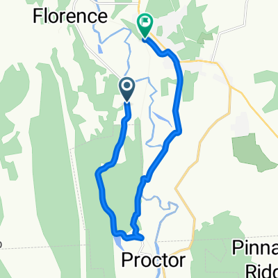
Brookside Rutland to 27 School St, Hanovernd to Hanover
- 78.3 km
- 598 m
- 613 m
- Rutland, Vermont, United States
A cycling route starting in Rutland, Vermont, United States.
Overview
road to gravel. no street bike. steep up to top of mountain where meets apalachian trail. Good ride. Large gravel road not for thin or weak tires.
created this 6 years ago
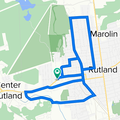
Route quality
Quiet road
8 km
(72 %)
Road
1.7 km
(15 %)
Track
1.4 km
(13 %)
Paved
3.8 km
(34 %)
Unpaved
7.3 km
(66 %)
Gravel
6.4 km
(58 %)
Asphalt
3.8 km
(34 %)
Ground
0.9 km
(8 %)
Continue with Bikemap
You would like to ride Chittenden, VT, heavy hard up mt trail or customize it for your own trip? Here is what you can do with this Bikemap route:
Free trial for 3 days, or one-time payment. More about Bikemap Premium.
Discover more Premium features.
Get Bikemap PremiumFrom our community
Open it in the app