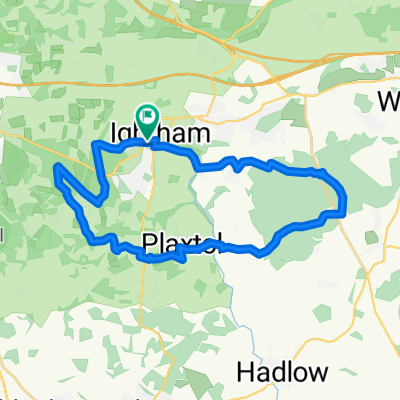
Wrotham to Canterbury
A cycling route starting in Borough Green, England, United Kingdom.
Overview
About this route
- -:--
- Duration
- 82.4 km
- Distance
- 348 m
- Ascent
- 470 m
- Descent
- ---
- Avg. speed
- ---
- Avg. speed
Route quality
Waytypes & surfaces along the route
Waytypes
Quiet road
40.4 km
(49 %)
Track
19 km
(23 %)
Surfaces
Paved
35.8 km
(43 %)
Unpaved
19.5 km
(24 %)
Asphalt
34.6 km
(42 %)
Gravel
14.3 km
(17 %)
Continue with Bikemap
Use, edit, or download this cycling route
You would like to ride Wrotham to Canterbury or customize it for your own trip? Here is what you can do with this Bikemap route:
Free features
- Save this route as favorite or in collections
- Copy & plan your own version of this route
- Sync your route with Garmin or Wahoo
Premium features
Free trial for 3 days, or one-time payment. More about Bikemap Premium.
- Navigate this route on iOS & Android
- Export a GPX / KML file of this route
- Create your custom printout (try it for free)
- Download this route for offline navigation
Discover more Premium features.
Get Bikemap PremiumFrom our community
Other popular routes starting in Borough Green
- Ightham Chipstead Knowle Park And Back
- Distance
- 33 km
- Ascent
- 258 m
- Descent
- 258 m
- Location
- Borough Green, England, United Kingdom
- stansted to ashford 70km
- Distance
- 75.2 km
- Ascent
- 412 m
- Descent
- 414 m
- Location
- Borough Green, England, United Kingdom
- London to Morzine Route via Paris
- Distance
- 1,012.2 km
- Ascent
- 2,284 m
- Descent
- 1,522 m
- Location
- Borough Green, England, United Kingdom
- Ightham Loop
- Distance
- 24.6 km
- Ascent
- 321 m
- Descent
- 321 m
- Location
- Borough Green, England, United Kingdom
- Stansted to Hildenborough
- Distance
- 18.5 km
- Ascent
- 184 m
- Descent
- 274 m
- Location
- Borough Green, England, United Kingdom
- Wrotham to Canterbury
- Distance
- 82.4 km
- Ascent
- 348 m
- Descent
- 470 m
- Location
- Borough Green, England, United Kingdom
- Comp 1
- Distance
- 7.4 km
- Ascent
- 65 m
- Descent
- 70 m
- Location
- Borough Green, England, United Kingdom
- local regular
- Distance
- 39.4 km
- Ascent
- 377 m
- Descent
- 384 m
- Location
- Borough Green, England, United Kingdom
Open it in the app