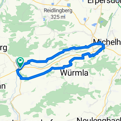
Aufeld 1, Etzersdorf nach Aufeld 4, Etzersdorf
- 45.7 km
- 196 m
- 196 m
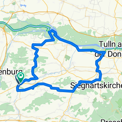
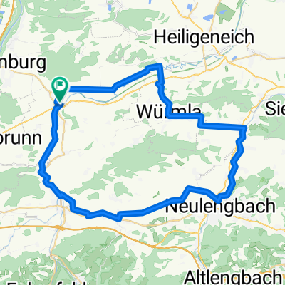
- Kapelln, Lower Austria, Austria
A cycling route starting in Kapelln, Lower Austria, Austria.
Overview
created this 6 years ago
Route quality
Track
50.8 km
(50 %)
Quiet road
30.5 km
(30 %)
Paved
88.3 km
(87 %)
Unpaved
1 km
(1 %)
Asphalt
87.3 km
(86 %)
Paved (undefined)
1 km
(1 %)
Continue with Bikemap
You would like to ride Pottenbrunn -Türnitz-Pottenbrunn 102km 2019_09_15 or customize it for your own trip? Here is what you can do with this Bikemap route:
Free trial for 3 days, or one-time payment. More about Bikemap Premium.
Discover more Premium features.
Get Bikemap PremiumFrom our community
Open it in the app