Briançon - Arc 2000
- 203 km
- 3,914 m
- 4,894 m
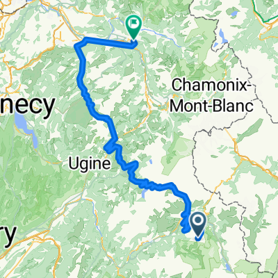
- Séez, Auvergne-Rhône-Alpes, France
A cycling route starting in Séez, Auvergne-Rhône-Alpes, France.
Overview
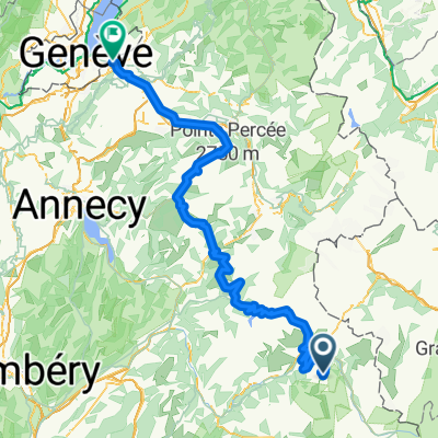
Bourg Saint Maurice - Séez - Longefoy - Viclaire - La Thuile - Piperon - La Reculaz - Val d'Isère - Col de l'Iseran - Bonneval sur Arc - Bessans - Lanslevillard
Col de l'Iseran (2770 m)
Col de la Madeleine (1746 m)
created this 6 years ago
Route quality
Quiet road
0.8 km
(1 %)
Access road
0.8 km
(1 %)
Undefined
74.6 km
(98 %)
Paved
75.4 km
(99 %)
Asphalt
75.4 km
(99 %)
Undefined
0.8 km
(1 %)
Continue with Bikemap
You would like to ride Route des Grandes Alpes 2019 - stage 3 or customize it for your own trip? Here is what you can do with this Bikemap route:
Free trial for 3 days, or one-time payment. More about Bikemap Premium.
Discover more Premium features.
Get Bikemap PremiumFrom our community
Open it in the app