

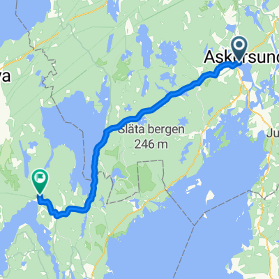
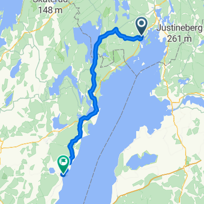
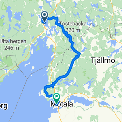
Askersund Malmo Airport
A cycling route starting in Askersund, Örebro County, Sweden.
Overview
About this route
- -:--
- Duration
- 884.2 km
- Distance
- 542 m
- Ascent
- 574 m
- Descent
- ---
- Avg. speed
- ---
- Max. altitude

Route quality
Waytypes & surfaces along the route
Waytypes
Road
592.4 km
(67 %)
Path
106.1 km
(12 %)
Surfaces
Paved
530.5 km
(60 %)
Unpaved
88.4 km
(10 %)
Asphalt
486.3 km
(55 %)
Gravel
53.1 km
(6 %)
Continue with Bikemap
Use, edit, or download this cycling route
You would like to ride Askersund Malmo Airport or customize it for your own trip? Here is what you can do with this Bikemap route:
Free features
- Save this route as favorite or in collections
- Copy & plan your own version of this route
- Split it into stages to create a multi-day tour
- Sync your route with Garmin or Wahoo
Premium features
Free trial for 3 days, or one-time payment. More about Bikemap Premium.
- Navigate this route on iOS & Android
- Export a GPX / KML file of this route
- Create your custom printout (try it for free)
- Download this route for offline navigation
Discover more Premium features.
Get Bikemap PremiumFrom our community
Other popular routes starting in Askersund
 Askersund nach Undenäs
- Distance
- 51.1 km
- Ascent
- 527 m
- Descent
- 506 m
- Location
- Askersund, Örebro County, Sweden
 Route nach Långgatan 1A
- Distance
- 90.4 km
- Ascent
- 781 m
- Descent
- 788 m
- Location
- Askersund, Örebro County, Sweden
 7 Askerssund 182
- Distance
- 155.9 km
- Ascent
- 1,340 m
- Descent
- 1,348 m
- Location
- Askersund, Örebro County, Sweden
 EMU Sweden 2020 Etappe 6
- Distance
- 54.6 km
- Ascent
- 223 m
- Descent
- 240 m
- Location
- Askersund, Örebro County, Sweden
 Borensberg-Askersund
- Distance
- 89.3 km
- Ascent
- 358 m
- Descent
- 352 m
- Location
- Askersund, Örebro County, Sweden
 Askersund to stokholm
- Distance
- 299.2 km
- Ascent
- 405 m
- Descent
- 506 m
- Location
- Askersund, Örebro County, Sweden
 Askersund bis Motala (Tagesetappe 5)
- Distance
- 70.5 km
- Ascent
- 1,897 m
- Descent
- 1,889 m
- Location
- Askersund, Örebro County, Sweden
 Gota Kanal 8a tappa: Askersund - Regna
- Distance
- 64.8 km
- Ascent
- 205 m
- Descent
- 228 m
- Location
- Askersund, Örebro County, Sweden
Open it in the app