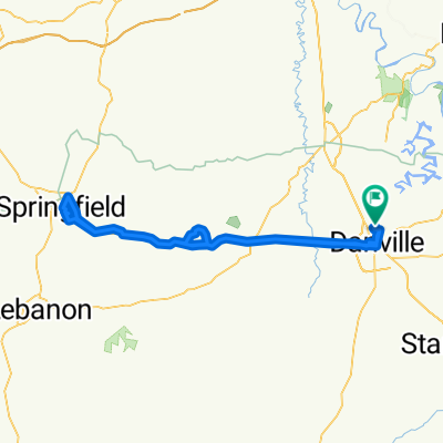
40-mile out-and-back add-on
- 66.6 km
- 201 m
- 201 m
- Danville, Kentucky, United States
A cycling route starting in Danville, Kentucky, United States.
Overview
Connector to Shaker Rd to Bluegrass Pike, out Locklin and back to Pike, out to 68, and back in the same way
created this 6 years ago
Route quality
Road
26.7 km
(40 %)
Quiet road
21.3 km
(32 %)
Continue with Bikemap
You would like to ride 40-mile out-and-back add-on or customize it for your own trip? Here is what you can do with this Bikemap route:
Free trial for 3 days, or one-time payment. More about Bikemap Premium.
Discover more Premium features.
Get Bikemap PremiumFrom our community
Open it in the app