
Zur Grenze
- 111.8 km
- 1,758 m
- 1,724 m
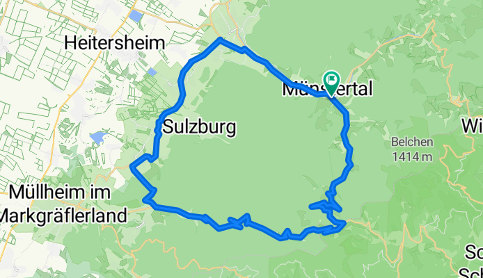
- Münstertal, Black Forest, Baden-Wurttemberg, Germany
A cycling route starting in Münstertal, Black Forest, Baden-Wurttemberg, Germany.
Overview
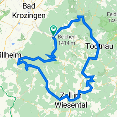
Münstertal-Schwärze-Sirnitz-Haldenhof-Münstertal
created this 17 years ago
Route quality
Road
3.5 km
9 %
Track
3.1 km
8 %
Paved
35 km
(90 %)
Unpaved
2.3 km
(6 %)
Asphalt
34.2 km
88 %
Gravel
2.3 km
6 %
Continue with Bikemap
You would like to ride Schwärze-Sirnitz_40km_1000hm or customize it for your own trip? Here is what you can do with this Bikemap route:
Free trial for 3 days, or one-time payment. More about Bikemap Premium.
Discover more Premium features.
Get Bikemap PremiumFrom our community
Open it in the app