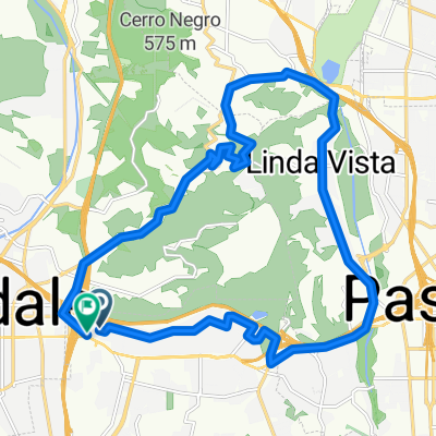
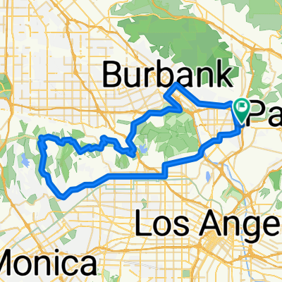
Griffith Park Hollywood sign loop
- 30.9 km
- 687 m
- 678 m
- Glendale, California, United States


Road
20.1 km65 %Quiet road
6.5 km21 %Paved
19.4 km(63 %)Asphalt
18.2 km59 %Paved (undefined)
1.2 km4 %Undefined
11.4 km37 %Free trial for 3 days, or one-time payment. More about Bikemap Premium.
Discover more Premium features.
Get Bikemap PremiumOpen it in the app