

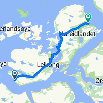
Mauseidvåg
A cycling route starting in Larsnes, Møre og Romsdal, Norway.
Overview
About this route
- 5 h 16 min
- Duration
- 53.5 km
- Distance
- 1,895 m
- Ascent
- 1,902 m
- Descent
- 10.2 km/h
- Avg. speed
- ---
- Max. altitude

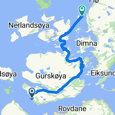
Route photos


Continue with Bikemap
Use, edit, or download this cycling route
You would like to ride Mauseidvåg or customize it for your own trip? Here is what you can do with this Bikemap route:
Free features
- Save this route as favorite or in collections
- Copy & plan your own version of this route
- Sync your route with Garmin or Wahoo
Premium features
Free trial for 3 days, or one-time payment. More about Bikemap Premium.
- Navigate this route on iOS & Android
- Export a GPX / KML file of this route
- Create your custom printout (try it for free)
- Download this route for offline navigation
Discover more Premium features.
Get Bikemap PremiumFrom our community
Other popular routes starting in Larsnes
 Larsnes - Hareid
- Distance
- 39.6 km
- Ascent
- 790 m
- Descent
- 793 m
- Location
- Larsnes, Møre og Romsdal, Norway
 Mauseidvåg
- Distance
- 53.5 km
- Ascent
- 1,895 m
- Descent
- 1,902 m
- Location
- Larsnes, Møre og Romsdal, Norway
 NpL Dag 21
- Distance
- 110.2 km
- Ascent
- 810 m
- Descent
- 818 m
- Location
- Larsnes, Møre og Romsdal, Norway
 Larsnes - Ulsteinvik weather
- Distance
- 38.8 km
- Ascent
- 686 m
- Descent
- 695 m
- Location
- Larsnes, Møre og Romsdal, Norway
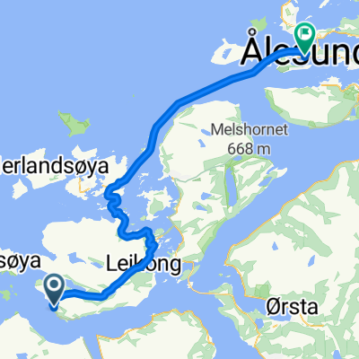 Larsnes - Ålesund
- Distance
- 62.9 km
- Ascent
- 679 m
- Descent
- 688 m
- Location
- Larsnes, Møre og Romsdal, Norway
 Day 22-Runde2
- Distance
- 52.2 km
- Ascent
- 1,107 m
- Descent
- 1,090 m
- Location
- Larsnes, Møre og Romsdal, Norway
 Hakallestranda - Måløy 2
- Distance
- 70 km
- Ascent
- 741 m
- Descent
- 734 m
- Location
- Larsnes, Møre og Romsdal, Norway
 Day-thirty-2
- Distance
- 38.6 km
- Ascent
- 726 m
- Descent
- 744 m
- Location
- Larsnes, Møre og Romsdal, Norway
Open it in the app