

Kunciran - Pamulang
A cycling route starting in Pamulang, West Java, Indonesia.
Overview
About this route
- 6 h 6 min
- Duration
- 46.7 km
- Distance
- 178 m
- Ascent
- 179 m
- Descent
- 7.7 km/h
- Avg. speed
- ---
- Max. altitude

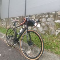
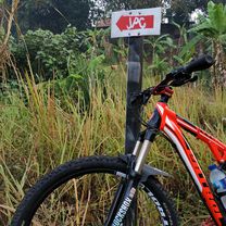
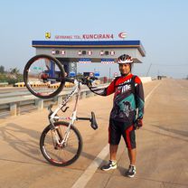
Route photos


Continue with Bikemap
Use, edit, or download this cycling route
You would like to ride Kunciran - Pamulang or customize it for your own trip? Here is what you can do with this Bikemap route:
Free features
- Save this route as favorite or in collections
- Copy & plan your own version of this route
- Sync your route with Garmin or Wahoo
Premium features
Free trial for 3 days, or one-time payment. More about Bikemap Premium.
- Navigate this route on iOS & Android
- Export a GPX / KML file of this route
- Create your custom printout (try it for free)
- Download this route for offline navigation
Discover more Premium features.
Get Bikemap PremiumFrom our community
Other popular routes starting in Pamulang
 Bike To Project
- Distance
- 39.8 km
- Ascent
- 292 m
- Descent
- 312 m
- Location
- Pamulang, West Java, Indonesia
 jalur pondok petir
- Distance
- 11.9 km
- Ascent
- 76 m
- Descent
- 87 m
- Location
- Pamulang, West Java, Indonesia
 morning ride
- Distance
- 19.2 km
- Ascent
- 327 m
- Descent
- 365 m
- Location
- Pamulang, West Java, Indonesia
 Tol Cinere - Serpong ..puanase puuoollll...
- Distance
- 57.4 km
- Ascent
- 277 m
- Descent
- 280 m
- Location
- Pamulang, West Java, Indonesia
 Jalan Pondok Labu Raya No.1b, Kecamatan Cilandak to Cilandak
- Distance
- 78.6 km
- Ascent
- 34 m
- Descent
- 44 m
- Location
- Pamulang, West Java, Indonesia
 japingkal
- Distance
- 33.8 km
- Ascent
- 1,088 m
- Descent
- 1,073 m
- Location
- Pamulang, West Java, Indonesia
 JPG - JAPINKA awesome....
- Distance
- 20.7 km
- Ascent
- 307 m
- Descent
- 303 m
- Location
- Pamulang, West Java, Indonesia
 Pamulang - Cisadane
- Distance
- 33.7 km
- Ascent
- 388 m
- Descent
- 383 m
- Location
- Pamulang, West Java, Indonesia
Open it in the app