NpL Dag 20
- 119.5 km
- 748 m
- 757 m
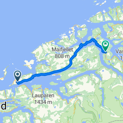
- Midsund, Møre og Romsdal, Norway
A cycling route starting in Midsund, Møre og Romsdal, Norway.
Overview
created this 6 years ago


Route quality
Cycleway
24.2 km
(31 %)
Quiet road
2.3 km
(3 %)
Paved
48.4 km
(62 %)
Unpaved
1.6 km
(2 %)
Asphalt
48.4 km
(62 %)
Ground
1.6 km
(2 %)
Undefined
28.1 km
(36 %)
Continue with Bikemap
You would like to ride Midsund to Bud- or customize it for your own trip? Here is what you can do with this Bikemap route:
Free trial for 3 days, or one-time payment. More about Bikemap Premium.
Discover more Premium features.
Get Bikemap PremiumFrom our community
Open it in the app