

Röhrenfurth nach Röhrenfurth
- 36.4 km
- 252 m
- 254 m
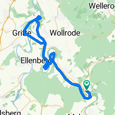
- Körle, Hesse, Germany
A cycling route starting in Körle, Hesse, Germany.
Overview
With the RT5 from Wilhelmshöhe station to Körle, then to Empfershausen along the Mülmisch to Eiterhagen and further to Wattenbach. From Wellerode along the Söhrebahn to Lohfelden then following the Wahlenbach to Kassel.
created this 17 years ago
Route quality
Path
6 km
28 %
Quiet road
5.4 km
25 %
Paved
9.2 km
(43 %)
Unpaved
10.3 km
(48 %)
Asphalt
7.7 km
36 %
Gravel
4.9 km
23 %
Continue with Bikemap
You would like to ride Körle - Wattenbach - Kassel or customize it for your own trip? Here is what you can do with this Bikemap route:
Free trial for 3 days, or one-time payment. More about Bikemap Premium.
Discover more Premium features.
Get Bikemap PremiumFrom our community
Open it in the app


