Loire Radweg: Tag 2 Beaugency - Cheverny
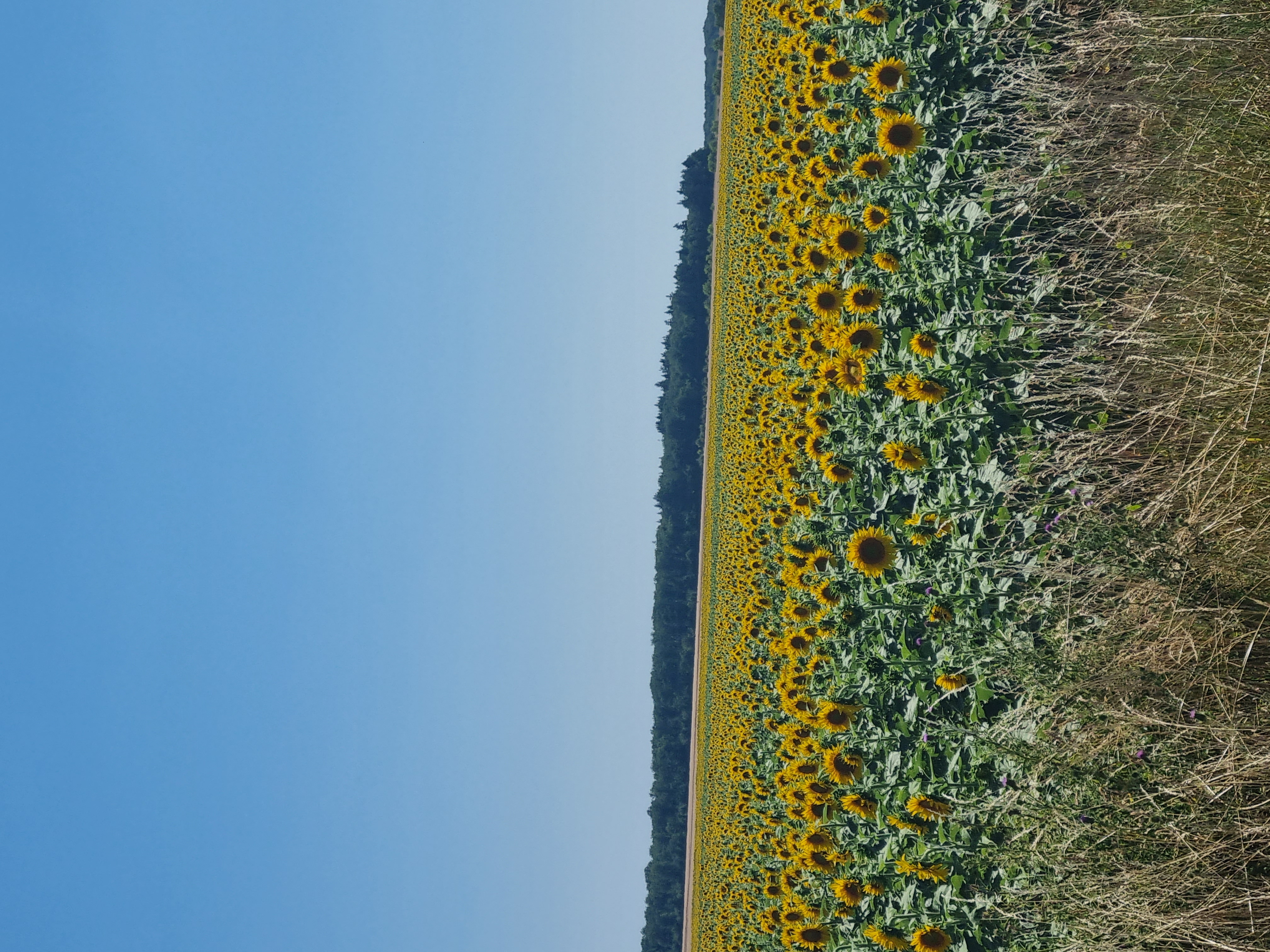
A cycling route starting in Beaugency, Centre-Val de Loire, France.
Overview
About this route
From Beaugency via Chambord to Cheverny
- -:--
- Duration
- 58.7 km
- Distance
- 169 m
- Ascent
- 181 m
- Descent
- ---
- Avg. speed
- 115 m
- Max. altitude
Route quality
Waytypes & surfaces along the route
Waytypes
Quiet road
23.5 km
(40 %)
Cycleway
14.1 km
(24 %)
Surfaces
Paved
16.4 km
(28 %)
Unpaved
4.1 km
(7 %)
Asphalt
13.5 km
(23 %)
Gravel
3.5 km
(6 %)
Continue with Bikemap
Use, edit, or download this cycling route
You would like to ride Loire Radweg: Tag 2 Beaugency - Cheverny or customize it for your own trip? Here is what you can do with this Bikemap route:
Free features
- Save this route as favorite or in collections
- Copy & plan your own version of this route
- Sync your route with Garmin or Wahoo
Premium features
Free trial for 3 days, or one-time payment. More about Bikemap Premium.
- Navigate this route on iOS & Android
- Export a GPX / KML file of this route
- Create your custom printout (try it for free)
- Download this route for offline navigation
Discover more Premium features.
Get Bikemap PremiumFrom our community
Other popular routes starting in Beaugency
- Day 6
- Distance
- 40.2 km
- Ascent
- 71 m
- Descent
- 85 m
- Location
- Beaugency, Centre-Val de Loire, France
- LV17 Beaugency to Blois.kml - LV17 Beaugency to Blois.kml_LV17 Beaugency to Blois
- Distance
- 34.7 km
- Ascent
- 71 m
- Descent
- 88 m
- Location
- Beaugency, Centre-Val de Loire, France
- Route to Amboise
- Distance
- 79.4 km
- Ascent
- 346 m
- Descent
- 373 m
- Location
- Beaugency, Centre-Val de Loire, France
- EV6 - Day 7
- Distance
- 60.4 km
- Ascent
- 63 m
- Descent
- 43 m
- Location
- Beaugency, Centre-Val de Loire, France
- Beaugency / Chambord
- Distance
- 33.1 km
- Ascent
- 69 m
- Descent
- 74 m
- Location
- Beaugency, Centre-Val de Loire, France
- ecoveloroute_etape2
- Distance
- 32 km
- Ascent
- 68 m
- Descent
- 61 m
- Location
- Beaugency, Centre-Val de Loire, France
- / Beaugency - Sonchamp.
- Distance
- 109.3 km
- Ascent
- 112 m
- Descent
- 58 m
- Location
- Beaugency, Centre-Val de Loire, France
- 6) Beaugency - Sully/Loire
- Distance
- 80.3 km
- Ascent
- 115 m
- Descent
- 87 m
- Location
- Beaugency, Centre-Val de Loire, France
Open it in the app