

2010-Jun-11 Yamanaka-Lake
A cycling route starting in Hachiōji, Tokyo, Japan.
Overview
About this route
- -:--
- Duration
- 109.4 km
- Distance
- 1,631 m
- Ascent
- 1,757 m
- Descent
- ---
- Avg. speed
- ---
- Max. altitude
Continue with Bikemap
Use, edit, or download this cycling route
You would like to ride 2010-Jun-11 Yamanaka-Lake or customize it for your own trip? Here is what you can do with this Bikemap route:
Free features
- Save this route as favorite or in collections
- Copy & plan your own version of this route
- Split it into stages to create a multi-day tour
- Sync your route with Garmin or Wahoo
Premium features
Free trial for 3 days, or one-time payment. More about Bikemap Premium.
- Navigate this route on iOS & Android
- Export a GPX / KML file of this route
- Create your custom printout (try it for free)
- Download this route for offline navigation
Discover more Premium features.
Get Bikemap PremiumFrom our community
Other popular routes starting in Hachiōji
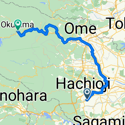 東浅川町, 八王子市へ氷川, 奥多摩町
- Distance
- 55 km
- Ascent
- 1,686 m
- Descent
- 1,506 m
- Location
- Hachiōji, Tokyo, Japan
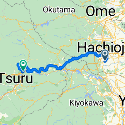 東浅川町, 八王子市へ大月1丁目, 大月市
- Distance
- 71.8 km
- Ascent
- 3,217 m
- Descent
- 3,009 m
- Location
- Hachiōji, Tokyo, Japan
 東浅川町, 八王子市へ川野, 奥多摩町
- Distance
- 47.9 km
- Ascent
- 2,468 m
- Descent
- 2,068 m
- Location
- Hachiōji, Tokyo, Japan
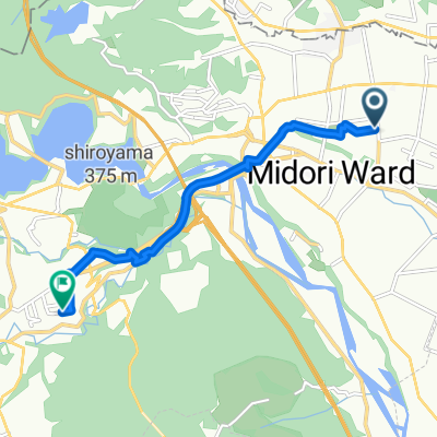 二本松1丁目, 相模原市へ長竹, 相模原市
- Distance
- 7.2 km
- Ascent
- 151 m
- Descent
- 99 m
- Location
- Hachiōji, Tokyo, Japan
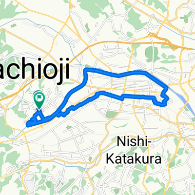 都営長房西アパート西1号棟 まで都営長房西アパート西1号棟
- Distance
- 15.8 km
- Ascent
- 165 m
- Descent
- 203 m
- Location
- Hachiōji, Tokyo, Japan
 Going to Fuji san
- Distance
- 88.6 km
- Ascent
- 4,453 m
- Descent
- 3,734 m
- Location
- Hachiōji, Tokyo, Japan
 2010-Jun-11 Yamanaka-Lake
- Distance
- 109.4 km
- Ascent
- 1,631 m
- Descent
- 1,757 m
- Location
- Hachiōji, Tokyo, Japan
 東浅川町, 八王子市へ県道70号, 秦野市
- Distance
- 46.8 km
- Ascent
- 2,316 m
- Descent
- 1,681 m
- Location
- Hachiōji, Tokyo, Japan
Open it in the app