Saisoneröffnung Westpfalz 2018 - PSF des RSC Zweibrücken 88 e.V. - 44 km Strecke
- 40.9 km
- 388 m
- 391 m
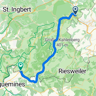
- Zweibrücken, Rhineland-Palatinate, Germany
A cycling route starting in Zweibrücken, Rhineland-Palatinate, Germany.
Overview
Through the crooked Elsaß 2ß7 - 151 km
RTF of RSC Zweibrücken 88 e.V.
All other information on this route -> click here
Start and finish on 03.06.2007 not at the racing field in Zweibrücken
created this 17 years ago
Route quality
Road
80.3 km
(56 %)
Path
8.6 km
(6 %)
Paved
99 km
(69 %)
Unpaved
4.3 km
(3 %)
Asphalt
99 km
(69 %)
Ground
2.9 km
(2 %)
Route highlights
Start und Ziel 2007
Kontrolle Weiskirch
Kontrolle Baerenthal
Kontrolle Jaegerthal
Kontrolle Haspelschiedt
Continue with Bikemap
You would like to ride Durchs krumme Elsaß 2007 - RTF des RSC Zweibrücken 88 e.V. - 151 km Strecke or customize it for your own trip? Here is what you can do with this Bikemap route:
Free trial for 3 days, or one-time payment. More about Bikemap Premium.
Discover more Premium features.
Get Bikemap PremiumFrom our community
Open it in the app