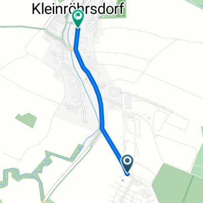
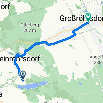
Rund um Sachsenmilch
A cycling route starting in Arnsdorf, Saxony, Germany.
Overview
About this route
Morgendliche Runde zum Brötchenholen
- -:--
- Duration
- 11.8 km
- Distance
- 104 m
- Ascent
- 105 m
- Descent
- ---
- Avg. speed
- ---
- Max. altitude
Route quality
Waytypes & surfaces along the route
Waytypes
Road
5.5 km
(46 %)
Track
3.1 km
(27 %)
Surfaces
Paved
6.5 km
(55 %)
Unpaved
3.4 km
(29 %)
Asphalt
5.8 km
(49 %)
Gravel
1.6 km
(14 %)
Continue with Bikemap
Use, edit, or download this cycling route
You would like to ride Rund um Sachsenmilch or customize it for your own trip? Here is what you can do with this Bikemap route:
Free features
- Save this route as favorite or in collections
- Copy & plan your own version of this route
- Sync your route with Garmin or Wahoo
Premium features
Free trial for 3 days, or one-time payment. More about Bikemap Premium.
- Navigate this route on iOS & Android
- Export a GPX / KML file of this route
- Create your custom printout (try it for free)
- Download this route for offline navigation
Discover more Premium features.
Get Bikemap PremiumFrom our community
Other popular routes starting in Arnsdorf
- Rundweg Dresdener Heide und Seifersdorfer Tal
- Distance
- 37.3 km
- Ascent
- 214 m
- Descent
- 214 m
- Location
- Arnsdorf, Saxony, Germany
- Rossendor-Stolpen-Stürza-Weißig-Rossendorf
- Distance
- 46.2 km
- Ascent
- 312 m
- Descent
- 312 m
- Location
- Arnsdorf, Saxony, Germany
- Rund um Sachsenmilch
- Distance
- 11.8 km
- Ascent
- 104 m
- Descent
- 105 m
- Location
- Arnsdorf, Saxony, Germany
- 2015 09 09: Arni's RENNstall: Ab Stolpen fahren wir Kette rechts!
- Distance
- 49.9 km
- Ascent
- 188 m
- Descent
- 337 m
- Location
- Arnsdorf, Saxony, Germany
- Arnsdorf - Hofewiese - Marienallee
- Distance
- 41.9 km
- Ascent
- 293 m
- Descent
- 292 m
- Location
- Arnsdorf, Saxony, Germany
- Arbeitsweg durch die Heide
- Distance
- 18.2 km
- Ascent
- 144 m
- Descent
- 258 m
- Location
- Arnsdorf, Saxony, Germany
- Campingplatz - Stolpen und zurück
- Distance
- 38.5 km
- Ascent
- 269 m
- Descent
- 270 m
- Location
- Arnsdorf, Saxony, Germany
- Geosache-Runde Westlausitz
- Distance
- 19.4 km
- Ascent
- 149 m
- Descent
- 150 m
- Location
- Arnsdorf, Saxony, Germany
Open it in the app