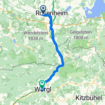
Rosenheim
A cycling route starting in Kolbermoor, Bavaria, Germany.
Overview
About this route
- 1 h 38 min
- Duration
- 27.4 km
- Distance
- 468 m
- Ascent
- 269 m
- Descent
- 16.7 km/h
- Avg. speed
- ---
- Max. altitude
Continue with Bikemap
Use, edit, or download this cycling route
You would like to ride Rosenheim or customize it for your own trip? Here is what you can do with this Bikemap route:
Free features
- Save this route as favorite or in collections
- Copy & plan your own version of this route
- Sync your route with Garmin or Wahoo
Premium features
Free trial for 3 days, or one-time payment. More about Bikemap Premium.
- Navigate this route on iOS & Android
- Export a GPX / KML file of this route
- Create your custom printout (try it for free)
- Download this route for offline navigation
Discover more Premium features.
Get Bikemap PremiumFrom our community
Other popular routes starting in Kolbermoor
Unterkaltbrunner Straße 2, Rosenheim nach Rosengassenweg 17, Rosenheim- Distance
- 37.2 km
- Ascent
- 141 m
- Descent
- 187 m
- Location
- Kolbermoor, Bavaria, Germany
Rosenheimer Runde 01- Distance
- 77 km
- Ascent
- 402 m
- Descent
- 402 m
- Location
- Kolbermoor, Bavaria, Germany
Rosenheim-Schönau-Valley-Otterfing-München- Distance
- 89 km
- Ascent
- 578 m
- Descent
- 497 m
- Location
- Kolbermoor, Bavaria, Germany
Rosenheim-Biberg-Kreuzstrasse- Distance
- 46.1 km
- Ascent
- 521 m
- Descent
- 355 m
- Location
- Kolbermoor, Bavaria, Germany
11.09.25 Kolbermoor-Nußdorf- Distance
- 48.3 km
- Ascent
- 104 m
- Descent
- 105 m
- Location
- Kolbermoor, Bavaria, Germany
Maxlrainer Waldrunde- Distance
- 29.5 km
- Ascent
- 110 m
- Descent
- 109 m
- Location
- Kolbermoor, Bavaria, Germany
Irschenberg1- Distance
- 15 km
- Ascent
- 260 m
- Descent
- 43 m
- Location
- Kolbermoor, Bavaria, Germany
Simssee- Distance
- 48.9 km
- Ascent
- 338 m
- Descent
- 339 m
- Location
- Kolbermoor, Bavaria, Germany
Open it in the app


