
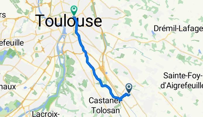
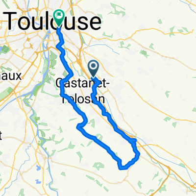
LaBege - Toulouse
A cycling route starting in Labège, Occitanie, France.
Overview
About this route
- -:--
- Duration
- 14.1 km
- Distance
- 23 m
- Ascent
- 31 m
- Descent
- ---
- Avg. speed
- ---
- Max. altitude

Route quality
Waytypes & surfaces along the route
Waytypes
Path
8 km
(57 %)
Quiet road
2 km
(14 %)
Surfaces
Paved
13.4 km
(95 %)
Unpaved
0.7 km
(5 %)
Asphalt
12.3 km
(88 %)
Concrete
1 km
(7 %)
Continue with Bikemap
Use, edit, or download this cycling route
You would like to ride LaBege - Toulouse or customize it for your own trip? Here is what you can do with this Bikemap route:
Free features
- Save this route as favorite or in collections
- Copy & plan your own version of this route
- Sync your route with Garmin or Wahoo
Premium features
Free trial for 3 days, or one-time payment. More about Bikemap Premium.
- Navigate this route on iOS & Android
- Export a GPX / KML file of this route
- Create your custom printout (try it for free)
- Download this route for offline navigation
Discover more Premium features.
Get Bikemap PremiumFrom our community
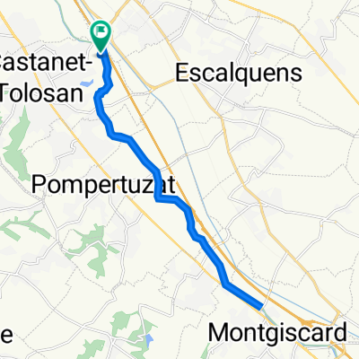
Other popular routes starting in Labège
 120620
- Distance
- 55.3 km
- Ascent
- 272 m
- Descent
- 272 m
- Location
- Labège, Occitanie, France
 20 Chemin d'Augustin, Castanet-Tolosan à 20 Chemin d'Augustin, Castanet-Tolosan
- Distance
- 18.3 km
- Ascent
- 42 m
- Descent
- 38 m
- Location
- Labège, Occitanie, France
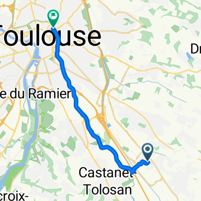
 Rue de l'Innovation, Labège à Boulevard des Minimes, Toulouse
- Distance
- 16.5 km
- Ascent
- 46 m
- Descent
- 52 m
- Location
- Labège, Occitanie, France
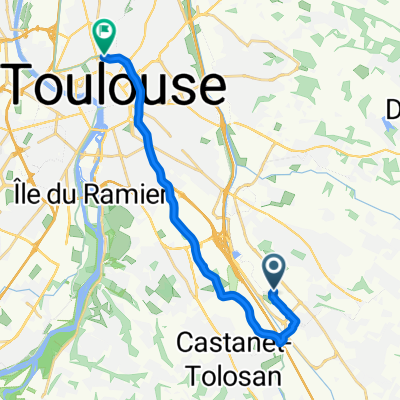
 Labège - Toulouse
- Distance
- 12.3 km
- Ascent
- 33 m
- Descent
- 27 m
- Location
- Labège, Occitanie, France
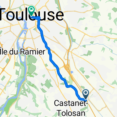
 От Chemin d'Augustin 8, Castanet-Tolosan до Allées du Président Franklin Roosevelt 11, Toulouse
- Distance
- 12.5 km
- Ascent
- 54 m
- Descent
- 55 m
- Location
- Labège, Occitanie, France
 Astiquer les rivets de la selle
- Distance
- 48.1 km
- Ascent
- 281 m
- Descent
- 276 m
- Location
- Labège, Occitanie, France
 LaBege - Toulouse
- Distance
- 14.1 km
- Ascent
- 23 m
- Descent
- 31 m
- Location
- Labège, Occitanie, France
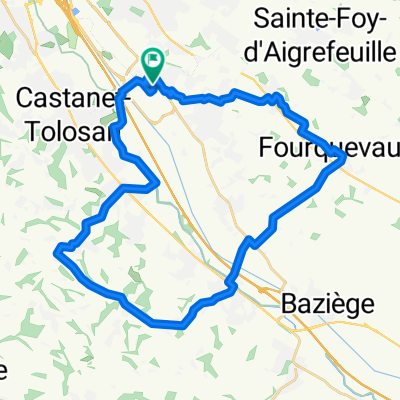 circuit
- Distance
- 37.3 km
- Ascent
- 330 m
- Descent
- 332 m
- Location
- Labège, Occitanie, France
Open it in the app