

Tag 5
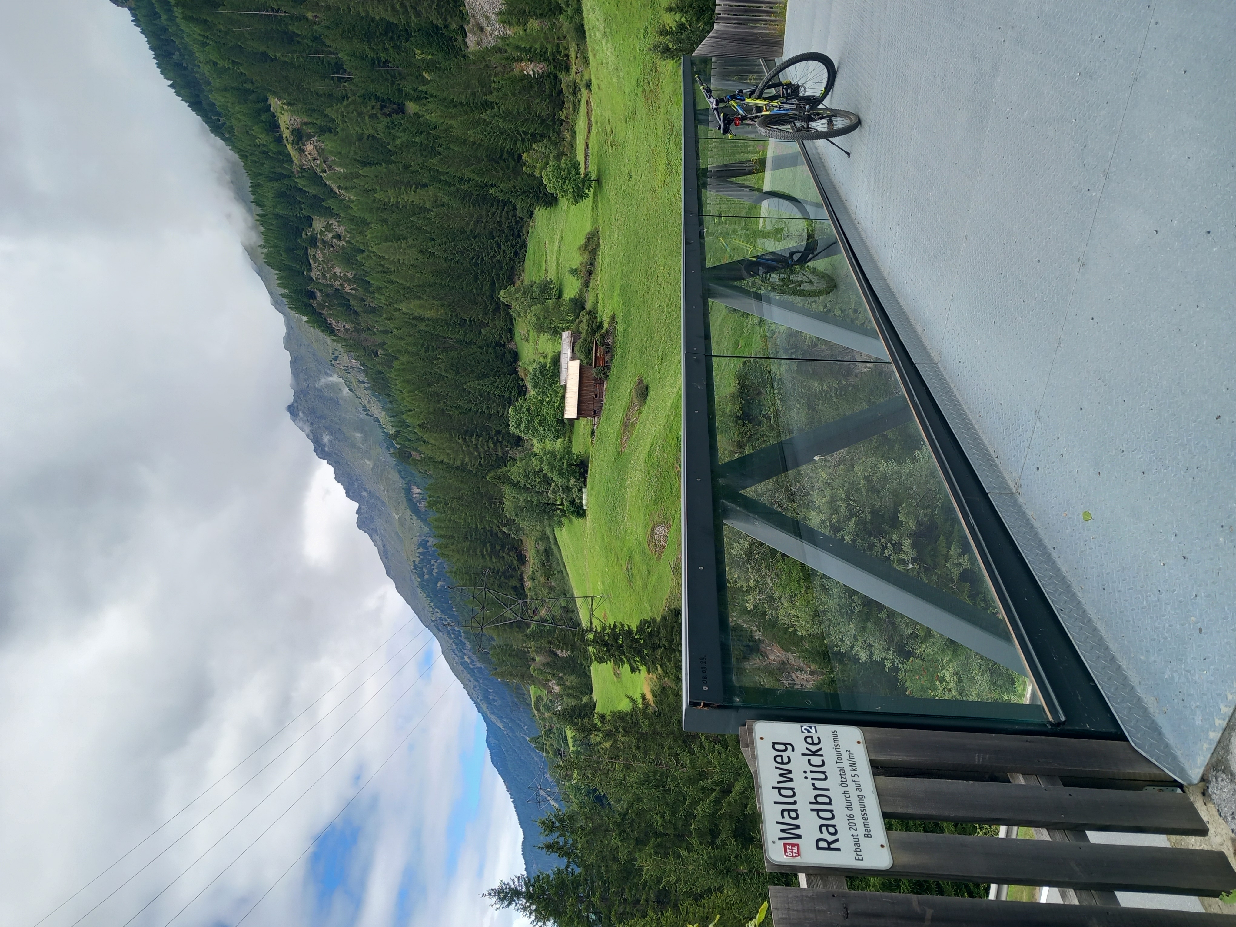
A cycling route starting in Umhausen, Tyrol, Austria.
Overview
About this route
- -:--
- Duration
- 475.6 km
- Distance
- 872 m
- Ascent
- 2,195 m
- Descent
- ---
- Avg. speed
- ---
- Max. altitude
Continue with Bikemap
Use, edit, or download this cycling route
You would like to ride Tag 5 or customize it for your own trip? Here is what you can do with this Bikemap route:
Free features
- Save this route as favorite or in collections
- Copy & plan your own version of this route
- Split it into stages to create a multi-day tour
- Sync your route with Garmin or Wahoo
Premium features
Free trial for 3 days, or one-time payment. More about Bikemap Premium.
- Navigate this route on iOS & Android
- Export a GPX / KML file of this route
- Create your custom printout (try it for free)
- Download this route for offline navigation
Discover more Premium features.
Get Bikemap PremiumFrom our community
Other popular routes starting in Umhausen
 Via Claudia Augusta 2
- Distance
- 66.7 km
- Ascent
- 1,192 m
- Descent
- 1,691 m
- Location
- Umhausen, Tyrol, Austria
 Au to Au 03.08.2025
- Distance
- 43.5 km
- Ascent
- 604 m
- Descent
- 655 m
- Location
- Umhausen, Tyrol, Austria
 Längenfeld Nislalm
- Distance
- 13.4 km
- Ascent
- 557 m
- Descent
- 962 m
- Location
- Umhausen, Tyrol, Austria
 AX2016 Tag 3 Umhausen-Rabenstein 67 km 2099 Hm
- Distance
- 66.7 km
- Ascent
- 1,948 m
- Descent
- 1,556 m
- Location
- Umhausen, Tyrol, Austria
 Österreich nach Am Tauferberg 2, Umhausen
- Distance
- 9.6 km
- Ascent
- 123 m
- Descent
- 207 m
- Location
- Umhausen, Tyrol, Austria
 Längenfeld - Feuerstein
- Distance
- 9.2 km
- Ascent
- 392 m
- Descent
- 42 m
- Location
- Umhausen, Tyrol, Austria
 Stabele Alm
- Distance
- 28.2 km
- Ascent
- 973 m
- Descent
- 973 m
- Location
- Umhausen, Tyrol, Austria
 Polltal / Breitlehn
- Distance
- 24.2 km
- Ascent
- 728 m
- Descent
- 728 m
- Location
- Umhausen, Tyrol, Austria
Open it in the app