

Jakobsweg windheim - Saint Pied de port
A cycling route starting in Bad Bocklet, Bavaria, Germany.
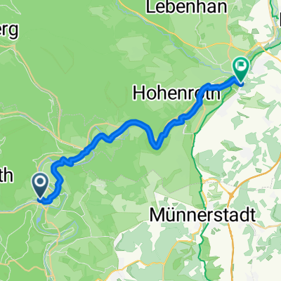
Overview
About this route
Route that Georg König has ridden.
- -:--
- Duration
- 1,812.4 km
- Distance
- 2,272 m
- Ascent
- 2,459 m
- Descent
- ---
- Avg. speed
- ---
- Max. altitude

Route quality
Waytypes & surfaces along the route
Waytypes
Road
670.6 km
(37 %)
Quiet road
416.9 km
(23 %)
Surfaces
Paved
1,033.1 km
(57 %)
Unpaved
36.2 km
(2 %)
Asphalt
942.5 km
(52 %)
Paved (undefined)
90.6 km
(5 %)
Continue with Bikemap
Use, edit, or download this cycling route
You would like to ride Jakobsweg windheim - Saint Pied de port or customize it for your own trip? Here is what you can do with this Bikemap route:
Free features
- Save this route as favorite or in collections
- Copy & plan your own version of this route
- Split it into stages to create a multi-day tour
- Sync your route with Garmin or Wahoo
Premium features
Free trial for 3 days, or one-time payment. More about Bikemap Premium.
- Navigate this route on iOS & Android
- Export a GPX / KML file of this route
- Create your custom printout (try it for free)
- Download this route for offline navigation
Discover more Premium features.
Get Bikemap PremiumFrom our community
Other popular routes starting in Bad Bocklet
 Aschach - Kreuzberg - Aschach
- Distance
- 55.3 km
- Ascent
- 959 m
- Descent
- 956 m
- Location
- Bad Bocklet, Bavaria, Germany
 Dionysiusstraße 6, Bad Kissingen nach Dionysiusstraße 1, Bad Kissingen
- Distance
- 14.8 km
- Ascent
- 263 m
- Descent
- 263 m
- Location
- Bad Bocklet, Bavaria, Germany
 Berghaus Rhön
- Distance
- 19.1 km
- Ascent
- 601 m
- Descent
- 130 m
- Location
- Bad Bocklet, Bavaria, Germany
 Bad Bocklet - Waldsassen
- Distance
- 468.3 km
- Ascent
- 1,568 m
- Descent
- 1,573 m
- Location
- Bad Bocklet, Bavaria, Germany
 1. Tag Bad Bocklet - Hildburghausen
- Distance
- 75.2 km
- Ascent
- 391 m
- Descent
- 230 m
- Location
- Bad Bocklet, Bavaria, Germany
 Bad Bocklet bis Lohr am Main
- Distance
- 87.2 km
- Ascent
- 262 m
- Descent
- 309 m
- Location
- Bad Bocklet, Bavaria, Germany
 jakob 1. Etappe windheim - Aub
- Distance
- 117.1 km
- Ascent
- 551 m
- Descent
- 599 m
- Location
- Bad Bocklet, Bavaria, Germany
 Schule
- Distance
- 20 km
- Ascent
- 180 m
- Descent
- 161 m
- Location
- Bad Bocklet, Bavaria, Germany
Open it in the app