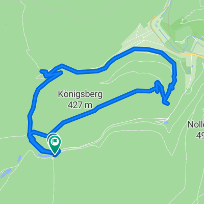
- 25.9 km
- 720 m
- 720 m
- Lambrecht, Rhineland-Palatinate, Germany
Rund ums Lambertskreutz
A cycling route starting in Lambrecht, Rhineland-Palatinate, Germany.
Overview
About this route
Trails, Trails, Trails.....
over the impressive Drachenfels, definitely search for and visit the Viewing Chamber on the South Rock. Descent through a rock crevice, then stairs and you're already in the Viewing Chamber - a rock breach under the South Rock.
Brilliant downhill to Saupferch (the local gastronomy leaves much to be desired, in my opinion - max. Schorle or wheat beer) Continue to Jagdstein, an uphill trail for the tough, may require pushing, then to Saupferch - stop recommended - in the evening it's common to offer a schnapps - but be careful) over the yellow cross to Lellebebbelpädel and then launch back down the High Speed Trail to Lambrecht.
Activity, suitable for mountain biking Hiking
- -:--
- Duration
- 25.9 km
- Distance
- 720 m
- Ascent
- 720 m
- Descent
- ---
- Avg. speed
- ---
- Max. altitude
created this 18 years ago
Continue with Bikemap
Use, edit, or download this cycling route
You would like to ride Rund ums Lambertskreutz or customize it for your own trip? Here is what you can do with this Bikemap route:
Free features
- Save this route as favorite or in collections
- Copy & plan your own version of this route
- Sync your route with Garmin or Wahoo
Premium features
Free trial for 3 days, or one-time payment. More about Bikemap Premium.
- Navigate this route on iOS & Android
- Export a GPX / KML file of this route
- Create your custom printout (try it for free)
- Download this route for offline navigation
Discover more Premium features.
Get Bikemap PremiumFrom our community
Other popular routes starting in Lambrecht
- Rund ums Lambertskreutz
- Pfälzerwald c.
- 101.3 km
- 973 m
- 971 m
- Lambrecht, Rhineland-Palatinate, Germany
- Elmsteiner Burgenweg
- 39.6 km
- 878 m
- 879 m
- Lambrecht, Rhineland-Palatinate, Germany
- GBM2017K
- 53.7 km
- 1,064 m
- 1,072 m
- Lambrecht, Rhineland-Palatinate, Germany
- Waldfischbach
- 104 km
- 1,236 m
- 1,270 m
- Lambrecht, Rhineland-Palatinate, Germany
- 23-APR-11 02
- 8.1 km
- 447 m
- 447 m
- Lambrecht, Rhineland-Palatinate, Germany
- Pfälzerwald Tour 2
- 41.5 km
- 696 m
- 694 m
- Lambrecht, Rhineland-Palatinate, Germany
- Pfalezer Wald Tour 5 Lambrecht
- 70.2 km
- 1,198 m
- 1,198 m
- Lambrecht, Rhineland-Palatinate, Germany
Open it in the app


