

Onga-Halmaj-Hernádkércs temető körút
A cycling route starting in Onga, Borsod-Abauj Zemplen county, Hungary.
Overview
About this route
Onga - Visiting the cemetery in Hernádkércs by bicycle.
The route goes through the following settlements:
Onga (start-finish) Ócsanálos Szikszó Aszaló Halmaj (cemetery) Kiskinizs Hernádkércs (cemetery)
Then we will return the same way.
Happy cycling everyone!
- -:--
- Duration
- 27.4 km
- Distance
- 48 m
- Ascent
- 36 m
- Descent
- ---
- Avg. speed
- ---
- Max. altitude

Route quality
Waytypes & surfaces along the route
Waytypes
Quiet road
8.2 km
(30 %)
Track
7.4 km
(27 %)
Surfaces
Paved
3 km
(11 %)
Asphalt
3 km
(11 %)
Undefined
24.4 km
(89 %)
Continue with Bikemap
Use, edit, or download this cycling route
You would like to ride Onga-Halmaj-Hernádkércs temető körút or customize it for your own trip? Here is what you can do with this Bikemap route:
Free features
- Save this route as favorite or in collections
- Copy & plan your own version of this route
- Sync your route with Garmin or Wahoo
Premium features
Free trial for 3 days, or one-time payment. More about Bikemap Premium.
- Navigate this route on iOS & Android
- Export a GPX / KML file of this route
- Create your custom printout (try it for free)
- Download this route for offline navigation
Discover more Premium features.
Get Bikemap PremiumFrom our community
Other popular routes starting in Onga
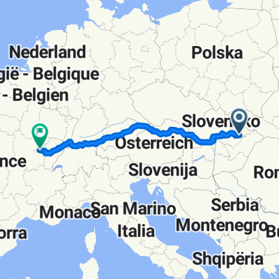 Onga - Dijon
- Distance
- 1,655.7 km
- Ascent
- 1,234 m
- Descent
- 1,099 m
- Location
- Onga, Borsod-Abauj Zemplen county, Hungary
 Onga - Búza tér - Tricikli Bt.
- Distance
- 9.6 km
- Ascent
- 164 m
- Descent
- 112 m
- Location
- Onga, Borsod-Abauj Zemplen county, Hungary
 Onga-Halmaj-Hernádkércs temető körút
- Distance
- 27.4 km
- Ascent
- 48 m
- Descent
- 36 m
- Location
- Onga, Borsod-Abauj Zemplen county, Hungary
 Munkába menet (go to work)
- Distance
- 9.5 km
- Ascent
- 24 m
- Descent
- 18 m
- Location
- Onga, Borsod-Abauj Zemplen county, Hungary
 Onga - Lillafüred
- Distance
- 27 km
- Ascent
- 217 m
- Descent
- 13 m
- Location
- Onga, Borsod-Abauj Zemplen county, Hungary
 Burger King MC
- Distance
- 7.3 km
- Ascent
- 121 m
- Descent
- 122 m
- Location
- Onga, Borsod-Abauj Zemplen county, Hungary
 Onga (HUN) - Igló (SK) gyors/fastest
- Distance
- 143.9 km
- Ascent
- 2,060 m
- Descent
- 1,708 m
- Location
- Onga, Borsod-Abauj Zemplen county, Hungary
 Onga - Paris
- Distance
- 1,768.3 km
- Ascent
- 1,003 m
- Descent
- 1,077 m
- Location
- Onga, Borsod-Abauj Zemplen county, Hungary
Open it in the app