

voie verte guengat dz
A cycling route starting in Guengat, Brittany Region, France.
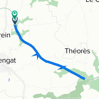
Overview
About this route
- 1 h 57 min
- Duration
- 34 km
- Distance
- 556 m
- Ascent
- 552 m
- Descent
- 17.5 km/h
- Avg. speed
- ---
- Max. altitude

Route photos


Continue with Bikemap
Use, edit, or download this cycling route
You would like to ride voie verte guengat dz or customize it for your own trip? Here is what you can do with this Bikemap route:
Free features
- Save this route as favorite or in collections
- Copy & plan your own version of this route
- Sync your route with Garmin or Wahoo
Premium features
Free trial for 3 days, or one-time payment. More about Bikemap Premium.
- Navigate this route on iOS & Android
- Export a GPX / KML file of this route
- Create your custom printout (try it for free)
- Download this route for offline navigation
Discover more Premium features.
Get Bikemap PremiumFrom our community
Other popular routes starting in Guengat
 20160714_154953.gpx
- Distance
- 26.4 km
- Ascent
- 178 m
- Descent
- 176 m
- Location
- Guengat, Brittany Region, France
 Tour de France
- Distance
- 7.6 km
- Ascent
- 130 m
- Descent
- 87 m
- Location
- Guengat, Brittany Region, France
 20170611_150444.gpx
- Distance
- 17.9 km
- Ascent
- 153 m
- Descent
- 151 m
- Location
- Guengat, Brittany Region, France
 17 Route de Kerveguen, Guengat nach 55–61 Rue Jean Jaurès, Quimper
- Distance
- 7.4 km
- Ascent
- 120 m
- Descent
- 134 m
- Location
- Guengat, Brittany Region, France
 Espace Louis Aléno de Saint-Alo, Guengat à 2 Place Louis Armand, Quimper
- Distance
- 12.5 km
- Ascent
- 278 m
- Descent
- 390 m
- Location
- Guengat, Brittany Region, France
 Itinéraire vers Zone Artisanale de la Base, Guengat
- Distance
- 6.5 km
- Ascent
- 59 m
- Descent
- 107 m
- Location
- Guengat, Brittany Region, France
 voie verte guengat dz
- Distance
- 34 km
- Ascent
- 556 m
- Descent
- 552 m
- Location
- Guengat, Brittany Region, France
 Promenade à Douarnenez par la Voie Verte au départ du Juch
- Distance
- 21.8 km
- Ascent
- 231 m
- Descent
- 232 m
- Location
- Guengat, Brittany Region, France
Open it in the app